Dish

The town sign for DISH
Photo by Nicholas Henderson, CC2
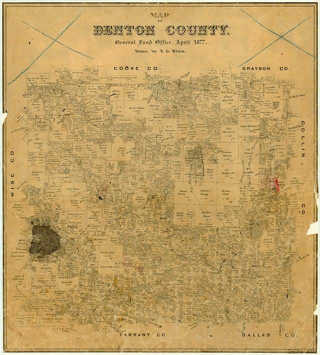

Clark is located just west of Farm Road 156 about twelve miles southwest of Denton in southwestern Denton County. It was shown on highway maps by the late 1970s as the location of a private airport owned by the Clark family. By 2000 area residents had voted to incorporate a community named Clark. The area includes the airport and a town hall. The population was 345 in 2000.
Continue Reading
Laurie E. Jasinski | © TSHA
Adapted from the official Handbook of Texas, a state encyclopedia developed by Texas State Historical Association (TSHA). It is an authoritative source of trusted historical records.
- ✅ Adoption Status:
- This place is available for adoption! Available for adoption!
- Adopted by:
- Your name goes here
- Dedication Message:
- Your message goes here
Belongs to
Dish is part of or belongs to the following places:
Currently Exists
Yes
Place type
Dish is classified as a Town
Associated Names
- (Clark)
Location
Latitude: 33.12948230Longitude: -97.30353800
Has Post Office
No
Is Incorporated
Yes
Population Count, 2021 View more »
437