Loraine
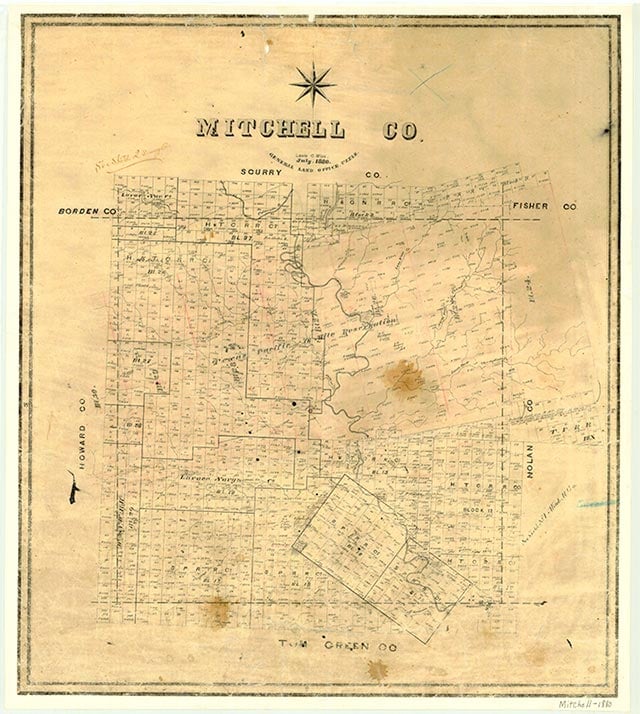
Loraine is on U.S. Highway 20/80, Farm Road 644, and the Missouri Pacific line, ten miles east of Colorado City and fifty-eight miles west of Abilene in northeastern Mitchell County. It was originally established in the early 1880s as a cotton and cattle shipping point on the Texas and Pacific Railway but saw little development in its early years. A post office opened there in 1890, and a school in 1893. A hotel, a grocery, and a hardware store reportedly operated at the site before 1905. In that year Parson Crandall bought the townsite land from the railroad and platted the town. Three conflicting stories concerning the town's name exist: the first says that Loraine was named for a railroad official's wife, the second that the community was named for the daughter or wife (possibly Loraine Crandall) of a local landowner, and the third that the town was named for the French region of Lorraine.
Growth was rapid after the town was platted. A weekly newspaper began publication there in 1906, and the community was incorporated by 1910. In 1914, when its population was an estimated 800, Loraine supported more than forty retail and service businesses, including a bank, a commercial club, and an electric utility company. During the 1920s Loraine had an aldermanic form of government, operated its own public water system, and provided both high school and grade school facilities to local students. In the 1930s cotton ginning grew in importance, and the town was recognized as a shipping, marketing, and ginning center. Population estimates for Loraine ranged between 700 and 750 during this period. A hospital was opened at the community in 1938. During the 1940s the town was known for its cheese factory, for its annual dairy show, and as the headquarters for the Loraine Cooperative Association, which handled the milk supply for several surrounding counties. The number of businesses at Loraine varied from an estimated high of fifty-five in 1940 to a low of thirty-four in 1947. Population estimates remained at around 700 in the 1940s but rose to more than 1,000 during the 1950s, though the number of businesses began a steady decline. Only six businesses, including a retirement center, remained in operation at Loraine in 1986. The community's population had declined during the 1960s and 1970s but rose to 929 in 1982. In 1990 it was reported as 731. The population dropped to 656 in 2000.
Patricia L. Duncan | © TSHA
Adapted from the official Handbook of Texas, a state encyclopedia developed by Texas State Historical Association (TSHA). It is an authoritative source of trusted historical records.
- Adoption Status:
- This place has been adopted and will not be available until March 2, 2027
- Adopted by:
- Will To Give Inc
- Dedication Message:
- In honor of my parents Isaiah Williams Jr & Emma Lee Carter
Belongs to
Loraine is part of or belongs to the following places:
Currently Exists
Yes
Place type
Loraine is classified as a Town
Location
Latitude: 32.40880810Longitude: -100.71266000
Has Post Office
Yes
Is Incorporated
Yes
Population Count, 2021 View more »
550