Selma
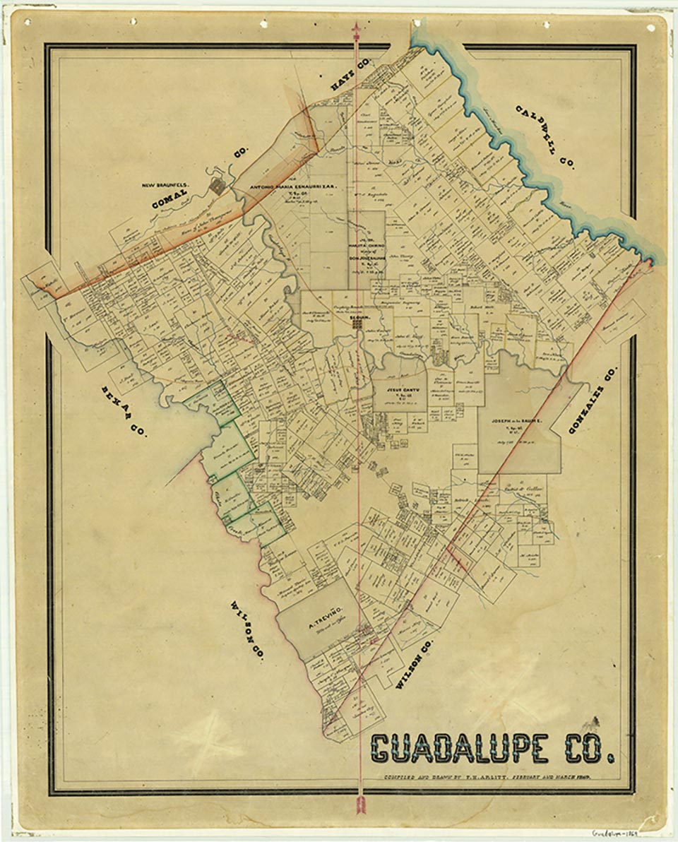

Selma is on Interstate 35 when it crosses Cibolo Creek, sixteen miles northeast of downtown San Antonio in northeastern Bexar, Comal, and Guadalupe counties. The community was first settled in 1847. John B. Brown and William Davenport ran herds of cattle on the open range until about 1860. A post office opened in 1856, and by 1885 Selma had two general stores, two cotton gins, three blacksmiths, a saloon, a school, a wagonmaker, and a population of 145. After an influx of German and Polish immigrants in the late 1880s the population grew rapidly, reaching 600 in 1896. The town declined after 1900. The post office closed in 1906 and was replaced by rural delivery first from Bracken and later from San Antonio. In 1940 Selma reported a church, a school, three businesses, and a population of 100. The community incorporated in the 1960s, and by 1980 the population had grown to 240. With the growth of business between San Antonio and Austin the town continued to grow; in 1990 the population was 520. The population grew to 788 in 2000.
Christopher Long | © TSHA
Adapted from the official Handbook of Texas, a state encyclopedia developed by Texas State Historical Association (TSHA). It is an authoritative source of trusted historical records.
- ✅ Adoption Status:
- This place is available for adoption! Available for adoption!
- Adopted by:
- Your name goes here
- Dedication Message:
- Your message goes here
Belongs to
Selma is part of or belongs to the following places:
Currently Exists
Yes
Place type
Selma is classified as a Town
Associated Names
- (Cibolo)
- (Hillsborough)
Location
Latitude: 29.58489500Longitude: -98.31146200
Has Post Office
No
Is Incorporated
Yes
Population Count, 2021 View more »
11,619