Chambers County

Chambers County, Texas

Chambers County, Texas
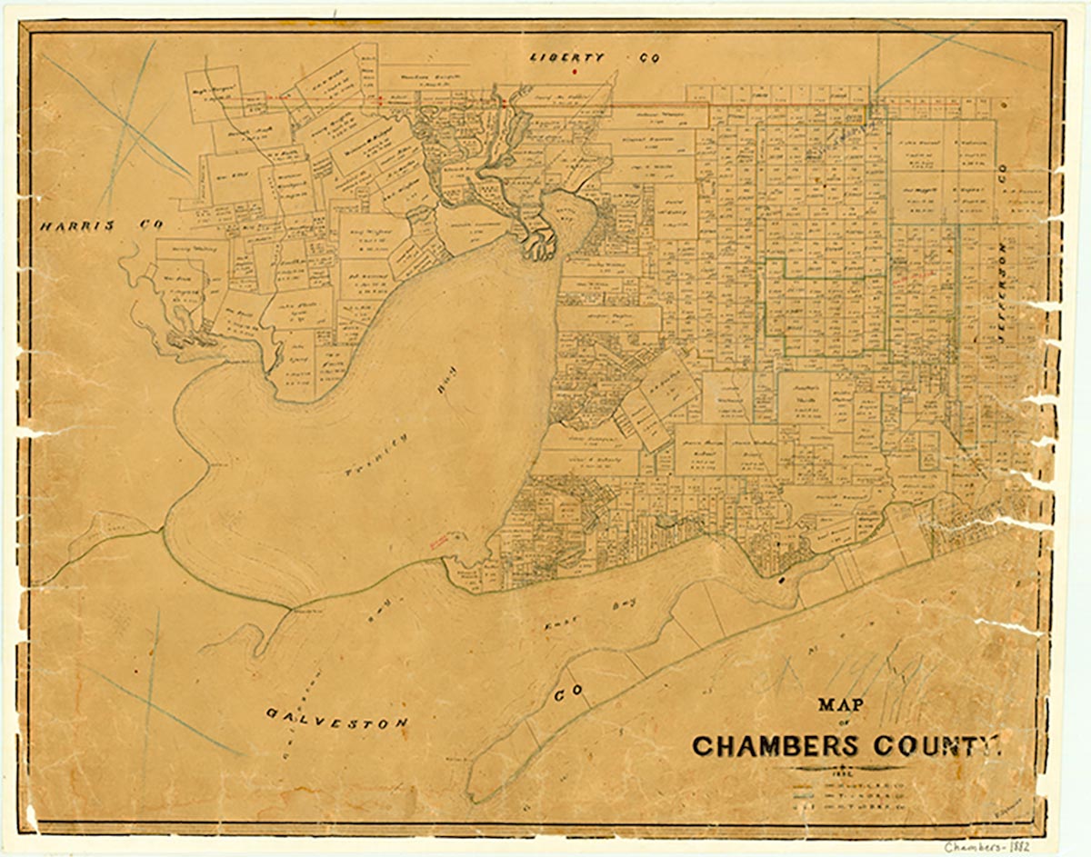
Chambers County, named for Thomas Jefferson Chambers, is a rural county less than twenty miles east of Houston in the Coastal Prairie region of Southeast Texas. The county is divided by the Trinity River. It comprises 616 square miles of level terrain that slopes toward Galveston Bay and the Gulf of Mexico, its southern and southwestern boundaries. The center point of the county is at 29°42' north latitude and 94°41' west longitude. The elevation rises from sea level to fifty feet. Chambers County has a subtropical, humid climate, with rainfall averaging forty-nine inches, a mean annual temperature of sixty-nine degrees, and a growing season averaging 261 days per year. The soils are chiefly coastal clay and sandy loam. The flora includes tall grasses, live oaks, cypress, pine, and cedar trees, as well as hardwoods along rivers and streams. The Union Pacific provides railroad service, and Interstate Highway 10 was built through the county in 1955. The county's abundant coastal marshland has never supported a large population, but its watery lowlands support the rice culture that yields the county's principal crop. Other farmers raise significant numbers of beef cattle, hogs, sheep, and poultry, as well as corn, feed grains, citrus fruits, vegetables, and some cotton. Natural resources include salt domes, industrial sand, and pine and hardwood timber; oil, gas, and sulfur are present in commercial quantities. Hurricanes that have struck Chambers County include those of 1875, 1900, 1915, 1943, 1957, 1961, and 1983.
Archeological excavations in the county have produced artifacts dating to A.D. 1000. Karankawa, Coapite, and Copane Indians lived in the area when the first expeditions traveled the lower Trinity River. The land that became Chambers County formed part of the Atascosito (or lower Trinity River) District, a subdivision of Nacogdoches in Spanish Texas. By the late seventeenth century the French intruded on Spanish interests by trading with the Indians as far as the Sabine. French trader Joseph Blancpain's expedition to the area along Galveston Bay and the lower Trinity in 1754 provoked Spanish efforts to protect the region with a system of missions guarded by adjoining presidios. In 1756 Spanish missionaries established Nuestra Señora de la Luz Mission near the site of present Wallisville, and, to gain strategic control of the lower Trinity, soldiers constructed San Agustín de Ahumada Presidio on its east bank near what is now the Chambers-Liberty county line. Missionaries worked with Orcoquiza Indians who inhabited the region. After the 1763 Treaty of Paris removed the French threat by awarding Louisiana to the Spanish, storms and constant Indian hostility resulted in removal of the missions to another location in 1766 and abandonment of the settlements by 1772. In 1805 Spanish troops landed at what is now Smith's Point to reinforce the Atascosito ("Marshy") community, but by 1812 few Spanish settlers had moved into the region. It was subsequently used by filibusters as a staging ground to mount attacks against Spanish Mexico.
Diana J. Kleiner | © TSHA
Adapted from the official Handbook of Texas, a state encyclopedia developed by Texas State Historical Association (TSHA). It is an authoritative source of trusted historical records.
- ✅ Adoption Status:
- This place is available for adoption! Available for adoption!
- Adopted by:
- Your name goes here
- Dedication Message:
- Your message goes here
Currently Exists
Yes
Place type
Chambers County is classified as a County
Altitude Range
0 ft – 82 ft
Size
Land area does not include water surface area, whereas total area does
- Land Area: 597.1 mi²
- Total Area: 871.2 mi²
Temperature
January mean minimum:
42.2°F
July mean maximum:
90.6°F
Rainfall, 2019
57.1 inches
Population Count, 2019
43,837
Civilian Labor Count, 2019
19,336
Unemployment, 2019
10.8%
Property Values, 2019
$16,130,241,697 USD
Per-Capita Income, 2019
$53,673 USD
Retail Sales, 2019
$512,229,940 USD
Wages, 2019
$331,120,541 USD
County Map of Texas
Chambers County
- Chambers County
Places of Chambers County
| Place | Type | Population (Year/Source) | Currently Exists |
|---|---|---|---|
| Town | 1,962 (2021) | Yes | |
| Town | – | – | |
| Town | – | – | |
| Town | – | – | |
| Town | 82,480 (2021) | Yes | |
| Town | 3,208 (2021) | Yes | |
| Town | – | – | |
| Town | – | – | |
| Town | – | – | |
| Town | – | – | |
| Town | 559 (2021) | Yes | |
| Town | – | – | |
| Town | 200 (2014) | Yes | |
| Town | 30 (2014) | Yes | |
| Town | – | – | |
| Town | – | – | |
| Town | 18 (2014) | Yes | |
| Town | – | – | |
| Town | – | – | |
| Town | 226 (2014) | Yes | |
| Town | – | – | |
| Town | – | – | |
| Lake | – | Yes | |
| Town | – | – | |
| Town | 5 (2014) | Yes | |
| Town | 8,337 (2021) | Yes | |
| Town | – | – | |
| Town | – | – | |
| Town | 374 (2021) | Yes | |
| Town | – | – | |
| Town | 1,310 (2021) | Yes | |
| Town | – | – | |
| Town | – | – | |
| Town | – | – | |
| Town | – | – | |
| Town | 180 (2014) | Yes | |
| Town | 2,085 (2021) | Yes | |
| Town | – | – | |
| Town | 55 (2014) | Yes | |
| Town | 300 (2014) | Yes | |
| Town | – | – | |
| Town | – | – | |
| Town | – | – | |
| Town | 2,366 (2021) | Yes |
Photos Nearby:

Sunset at Fort Anahuac Park
The monument at the park is titled "First Stand: Anahuac" and honors William B. Travis and his law partner Patrick Jack. Photo by Sheryl Shaw, Chambers County Historical Commission

Turtle Bayou, Texas
Turtle Bayou is an Unincorporated community in Chambers County, Texas. Photograph in Public Domain, Wikimapia.
Proud to call Texas home?
Put your name on the town, county, or lake of your choice.
Search Places »