Culberson County

Culberson County, Texas

Culberson County, Texas
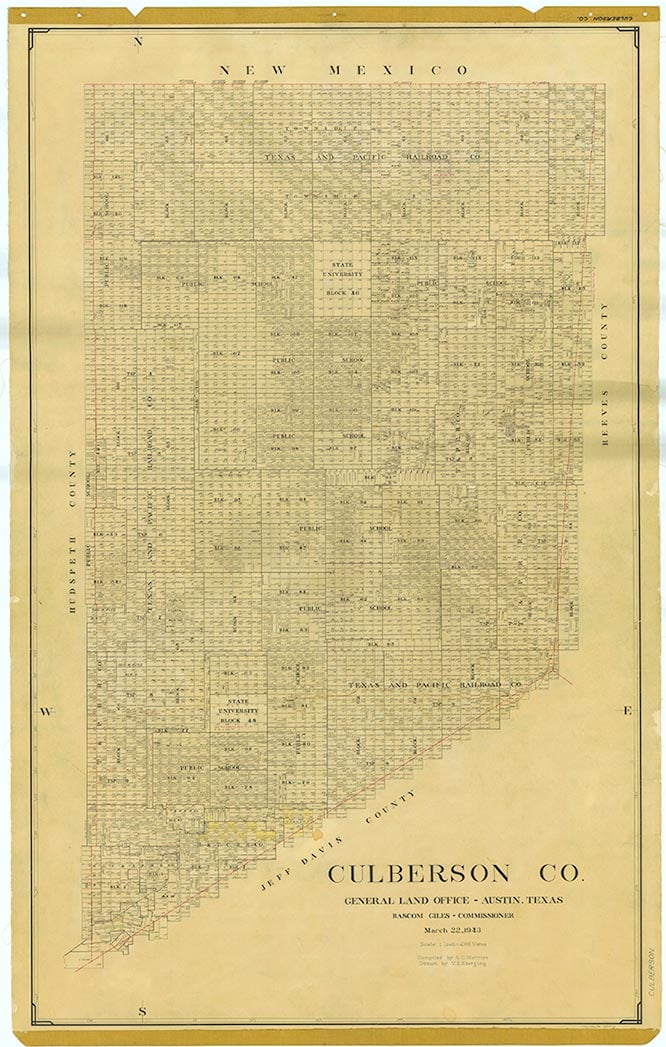
Culberson County is located in the Trans-Pecos region of West Texas. It is bordered by New Mexico to the north and by Hudspeth, Reeves, and Jeff Davis counties in Texas. Van Horn, the county seat, is approximately 120 miles east of El Paso in the southwestern part of the county. The county's center lies about thirty-six miles northeast of Van Horn at approximately 32°27' north latitude and 104°29' west longitude. Interstate Highway 10 and U.S. Highway 80 cross southern Culberson County from east to west; U.S. Highway 90 enters the county from the south and terminates at Van Horn; and U.S. highways 62 and 180 cross the county's northwestern corner. Two lines belonging to the Union Pacific Railroad cross the county's southwestern corner.
Culberson County comprises 3,815 square miles of terrain that varies from mountainous to nearly level, with elevations ranging from 8,751 feet on Guadalupe Peak, the highest spot in the state, to 3,000 feet. The county is in the Rio Grande basin. Soils in Culberson County are primarily shallow and stony, with some clay and sandy loams and sand. Vegetation consists of scrub brush, grasses, cacti, creosote bush, post oak, chaparral, oak, juniper, mesquite, yucca, and agave, with Douglas fir, aspen, Arizona cypress, maple, and madrone trees in the Guadalupe Mountains. The Guadalupes are also the home of several endangered or locally rare plant species, including bigtooth maple, ponderosa pine, chinquapin oak, Rocky Mountain juniper, Texas madrone, and Mexican buckeye, and of the only elk in Texas. Dolomite, gypsum, limestone, salt, silver, copper, lead, zinc, barite, and molybdenum are among the minerals found in Culberson County. The climate is mild and dry, with an average minimum temperature of 30° F in January and an average maximum of 94° in July. The growing season averages 224 days a year, and the average annual precipitation is ten inches. Less than 1 percent of the land in Culberson County is considered prime farmland.
Martin Donell Kohout | © TSHA
Adapted from the official Handbook of Texas, a state encyclopedia developed by Texas State Historical Association (TSHA). It is an authoritative source of trusted historical records.
- ✅ Adoption Status:
Currently Exists
Yes
Place type
Culberson County is classified as a County
Altitude Range
2900 ft – 8749 ft
Size
Land area does not include water surface area, whereas total area does
- Land Area: 3,812.8 mi²
- Total Area: 3,813.0 mi²
Temperature
January mean minimum:
28.3°F
July mean maximum:
92.3°F
Rainfall, 2019
11.6 inches
Population Count, 2019
2,171
Civilian Labor Count, 2019
977
Unemployment, 2019
9.1%
Property Values, 2019
$2,055,896,360 USD
Per-Capita Income, 2019
$54,180 USD
Retail Sales, 2019
$109,172,199 USD
Wages, 2019
$18,186,771 USD
County Map of Texas
Culberson County
- Culberson County
Places of Culberson County
| Place | Type | Population (Year/Source) | Currently Exists |
|---|---|---|---|
| Town | – | – | |
| Town | – | – | |
| Town | – | – | |
| Town | – | – | |
| Town | – | – | |
| Town | – | – | |
| Town | – | – | |
| Town | – | – | |
| Town | – | – | |
| Town | 10 (2009) | Yes | |
| Town | – | – | |
| Town | 30 (2009) | Yes | |
| Town | – | – | |
| Town | 15 (2009) | Yes | |
| Town | – | – | |
| Town | – | – | |
| Town | – | – | |
| Town | – | – | |
| Town | – | – | |
| Town | 20 (2009) | Yes | |
| Town | – | – | |
| Town | – | – | |
| Town | – | – | |
| Town | – | – | |
| Town | – | – | |
| Town | – | – | |
| Town | – | – | |
| Town | – | – | |
| Town | – | – | |
| Town | 1,946 (2021) | Yes | |
| Town | – | – |
Proud to call Texas home?
Put your name on the town, county, or lake of your choice.
Search Places »