Dickens County

Dickens County, Texas

Dickens County, Texas
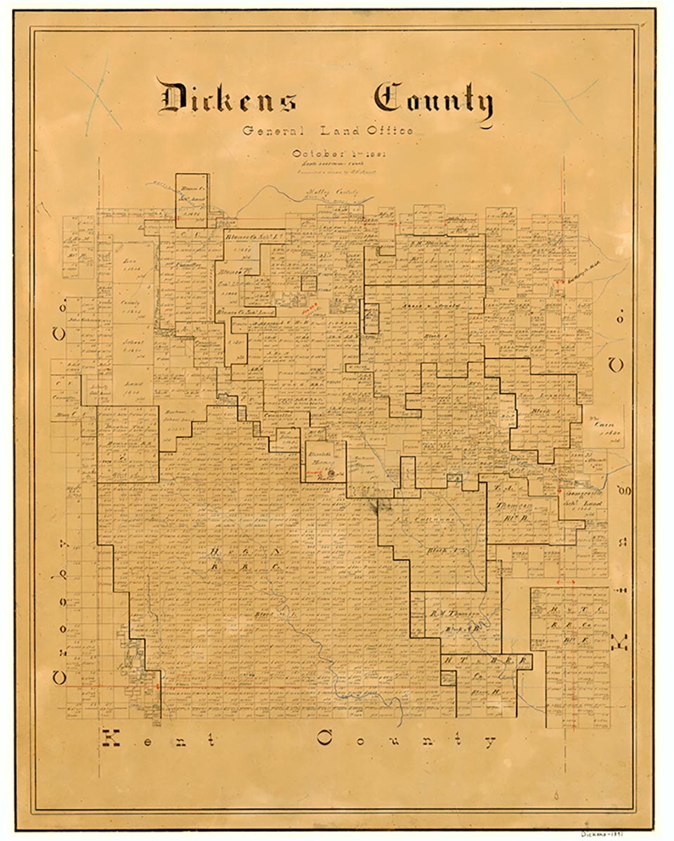
Dickens County, in Northwest Texas, is bordered on the north by Motley County, on the west by Crosby County, on the south by Kent County, and on the east by King County; its center point is 33°38' north latitude and 100°45' west longitude fifty miles east of Lubbock. The county was named for J. Dickens, who died at the Alamo. The broken terrain is surfaced by sandy, chocolate, and red soils. Croton and Duck creeks drain the county. The flat northwest part of Dickens County is above the Caprock on the Llano Estacado, and the rest, with rolling terrain, is below. The altitude over the county's 931 square miles varies from 2,000 to 3,000 feet. Trees include mesquite, hackberry, and cottonwood. Grasses are blue grama, sideoats, grama, white tidena, vine mesquite, and Indian grass. The average annual rainfall is 20.24 inches. The average minimum temperature in January is 28° F; in July the maximum is 95° F. The growing season is 217 days. Dickens County produces about $21.5 million worth of goods annually, mostly from beef cattle, horses, cotton, wheat, and sorghums. The county has no manufacturing and only a modest amount of oil. The road network includes U.S. Highway 82 (west to east) and State Highway 70 (north to south).
The Wanderers Who Make Bad Camps Band of the Comanches dominated the region before White settlement. The Comanches became fine horse-mounted warriors and hunters after they adapted their culture to the utilization of Spanish horses in the seventeenth century. The Comanche Indians hunted buffalo in summer and fall to provide most of their material needs. They met in an informal general assembly to decide the organization of their communal hunts, and war leaders made final decisions. A historian writes, "The buffalo was the lifeblood of Comanche culture; its near-extermination sounded the death knell for the kind of life Comanches had come to know." White hunters cleared the land of buffalo and wild horses in the 1870s, while Colonel Ranald S. MacKenzie's Fourth United States Cavalry subdued the Comanches in 1874 and 1875. MacKenzie's base of operations against the Indians was located at Anderson's Fort, also called Soldiers Mound, an army supply camp located near the site of present-day Spur. In 1876 the Texas state legislature formed Dickens County from land previously assigned to Bexar County.
John Leffler | © TSHA
Adapted from the official Handbook of Texas, a state encyclopedia developed by Texas State Historical Association (TSHA). It is an authoritative source of trusted historical records.
- ✅ Adoption Status:
- This place is available for adoption! Available for adoption!
- Adopted by:
- Your name goes here
- Dedication Message:
- Your message goes here
Currently Exists
Yes
Place type
Dickens County is classified as a County
Altitude Range
1800 ft – 3037 ft
Size
Land area does not include water surface area, whereas total area does
- Land Area: 901.7 mi²
- Total Area: 905.2 mi²
Temperature
January mean minimum:
26.6°F
July mean maximum:
94.7°F
Rainfall, 2019
22.8 inches
Population Count, 2019
2,211
Civilian Labor Count, 2019
632
Unemployment, 2019
7.4%
Property Values, 2019
$747,551,590 USD
Per-Capita Income, 2019
$31,586 USD
Retail Sales, 2019
$13,996,442 USD
Wages, 2019
$4,112,453 USD
County Map of Texas
Dickens County
- Dickens County
Places of Dickens County
| Place | Type | Population (Year/Source) | Currently Exists |
|---|---|---|---|
| Town | 15 (2009) | Yes | |
| Town | – | – | |
| Town | – | – | |
| Town | – | – | |
| Town | – | – | |
| Town | 7 (2009) | Yes | |
| Town | 404 (2021) | Yes | |
| Town | – | – | |
| Town | – | – | |
| Town | – | – | |
| Town | 13 (2009) | Yes | |
| Town | 4 (2009) | Yes | |
| Town | – | – | |
| Town | – | – | |
| Town | 2 (2009) | Yes | |
| Town | 4 (2009) | Yes | |
| Town | – | – | |
| Town | 75 (2009) | Yes | |
| Town | – | – | |
| Town | – | – | |
| Town | – | – | |
| Town | – | – | |
| Town | – | – | |
| Town | 10 (2009) | Yes | |
| Town | 740 (2021) | Yes | |
| Town | – | – | |
| Town | 4 (2009) | Yes | |
| Town | – | – | |
| Town | – | – | |
| Town | – | – |
Photos Nearby:

Afton, Texas
Afton, Texas. Photography by Leaflet.

Dickens, Texas
Dickens County Courthouse in the City of Dickens, the county seat. Photograph by Aualliso.

Spur, Texas
City of Spur located in the County of Dickens, Texas. Photograph by Renelibrary.
.jpg)
Proud to call Texas home?
Put your name on the town, county, or lake of your choice.
Search Places »