Hansford County

Hansford County, Texas

Hansford County, Texas
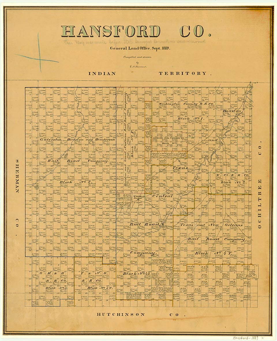
Hansford County, on the northern edge of the Panhandle, is bordered on the north by Oklahoma, on the west by Sherman County, on the south by Hutchinson County, and on the east by Ochiltree County. The approximate center of the county lies at 36°15' north latitude and 101°20' west longitude. Spearman, the county seat, is in the southeastern part of the county, about ten miles from the county center and approximately eighty miles northeast of Amarillo. The county, named for John M. Hansford, comprises 907 square miles of level and rolling prairies cut by the intermittent Frisco, Coldwater, Palo Duro, and Horse creeks. The region's black, sandy, and loam soils support abundant native grasses as well as wheat, corn, sorghum, oats, and other small grains. Hansford County, on the High Plains, ranges from 2,950 to 3,300 feet in altitude and receives an average annual rainfall of 22.16 inches; it has an average maximum temperature of 94° F in July and an average minimum of 20° in January. The growing season averages 186 days year.
An Apachean culture occupied the Panhandle-Plains area in prehistoric times; the modern Apaches emerged subsequently but were pushed out of the region about 1700 by the Comanches, who dominated the area until the mid-1870s. During the early 1870s buffalo hunters traversed the area from the east, slaughtering the great southern herd as they went. In 1873 James H. Cator and his brother Robert, both buffalo hunters from England, established an outpost in what became Hansford County. They named this semipermanent camp Zulu, and it soon became known as Zulu Stockade. Over the next four years the buffalo were wiped out. In the Red River War of 1874 the Comanches were conquered; they were removed to Indian Territory in 1875 and 1876.
H. Allen Anderson | © TSHA
Adapted from the official Handbook of Texas, a state encyclopedia developed by Texas State Historical Association (TSHA). It is an authoritative source of trusted historical records.
- ✅ Adoption Status:
- This place is available for adoption! Available for adoption!
- Adopted by:
- Your name goes here
- Dedication Message:
- Your message goes here
Currently Exists
Yes
Place type
Hansford County is classified as a County
Altitude Range
2750 ft – 3378 ft
Size
Land area does not include water surface area, whereas total area does
- Land Area: 919.8 mi²
- Total Area: 920.4 mi²
Temperature
January mean minimum:
24.8°F
July mean maximum:
95.6°F
Rainfall, 2019
21.2 inches
Population Count, 2019
5,399
Civilian Labor Count, 2019
2,487
Unemployment, 2019
3.9%
Property Values, 2019
$1,093,612,045 USD
Per-Capita Income, 2019
$62,998 USD
Retail Sales, 2019
$62,394,458 USD
Wages, 2019
$28,529,694 USD
County Map of Texas
Hansford County
- Hansford County
Places of Hansford County
| Place | Type | Population (Year/Source) | Currently Exists |
|---|---|---|---|
| Town | – | – | |
| Town | – | – | |
| Town | – | – | |
| Town | – | – | |
| Town | – | – | |
| Town | – | – | |
| Town | 1,108 (2021) | Yes | |
| Town | – | – | |
| Town | 15 (2009) | Yes | |
| Town | – | – | |
| Town | – | – | |
| Town | – | – | |
| Town | – | – | |
| Town | – | – | |
| Town | 251 (2021) | Yes | |
| Town | – | – | |
| Town | – | – | |
| Town | – | – | |
| Lake | – | Yes | |
| Town | – | – | |
| Town | – | – | |
| Town | – | – | |
| Town | – | – | |
| Town | 3,087 (2021) | Yes | |
| Town | – | – | |
| Town | – | – | |
| Town | – | – |
Proud to call Texas home?
Put your name on the town, county, or lake of your choice.
Search Places »