Wood County

Wood County, Texas

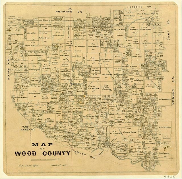
Wood County map
Wood County is in northeastern Texas between Interstate highways 20 and 30. Quitman, the county seat, is eighty miles east of Dallas and thirty miles north of Tyler. The county's center is at 32°5' north latitude and 95°0' west longitude. Wood County comprises 689 square miles of the East Texas timberlands with an elevation of 250 to 600 feet above sea level. The western and central parts of the county, in the Post Oak Savannah vegetation area, produce post oak and blackjack oak and tall grasses, and the eastern portion, in the Piney Woods vegetation area, has softwoods such as loblolly, shortleaf, longleaf, and slash pine and hardwoods such as oak, hickory, and maple. The Sabine River drains the southern part of Wood County and forms its southern boundary, and a tributary of the river, Lake Fork Creek, drains the central portion of the county. Coffee Creek drains the northwestern part of the county before it empties into Lake Fork Creek. Big Sandy Creek drains eastern Wood County, and one of its tributaries, Indian Creek, drains the northeastern part. The west has level to undulating terrain with sandy surfaces over clayey subsoils. Central Wood County has gently rolling to hilly terrain and reddish soils with loamy surfaces over very deep clayey subsoils. Eastern Wood County is nearly level and has soils with sandy to loamy surfaces over very deep subsoils. Mineral resources include oil, natural gas, sand, gravel, and clays. The climate is subtropical, moist and mild. The average annual temperature is 64° F. Temperatures in January range from an average low of 32° F to an average high of 54° and in July from 71° to 95° F. The average annual precipitation measures forty-three inches, and the growing season averages 246 days a year.
Caddo Indians lived in the East Texas timberlands centuries before the first Europeans entered the area. The area of Wood County was first explored in 1788 when Pedro Vial made his way from Natchitoches, Louisiana, to San Antonio. Several Spanish land grants were issued for land in the county, but they are relatively unimportant since the county was not extensively settled until after the Texas Revolution. One of the first White men to settle permanently in Wood County was Martin Varner, who lived southeast of the site of present Hainesville by 1824. Webster, the first real community in the area, was established by 1845. In 1850 Wood County was demarked from Van Zandt County and organized. Quitman was established to serve as the county seat. The county was named for George T. Wood, governor of Texas from 1847 to 1849. In 1870 the new Rains County took a section of western Wood County. Wood County was predominantly settled by people who came from the southern United States. These settlers brought slaves with them and began to reestablish the kind of slaveholding, cotton-plantation society they had known in their former homes. In 1850 Wood County had seventeen slaves. By 1860 it had a White population of 3,963 and 923 slaves (roughly 20 percent of the total population) and produced 1,108 bales of cotton. The coming of secession and the Civil War showed the mixed feelings that many citizens of Wood County had toward both subjects. In 1861 the county voted in favor of secession by a majority of 70 percent, yet the two men elected by the county to serve as its delegates to the Secession Convention, John D. Rains and A. P. Shuford, both voted against the secession ordinance. Emory Rains, state senator from Wood County, was one of the signers of the public address asking the citizens of Texas to vote against secession. After the Civil War began Wood County supported the Confederacy with men and material goods. Defeat brought military government and Reconstruction to the county. Reconstruction was effectively ended in 1873 with the election of men from the Democratic party on both the county and state level.
David W. Gilbreath | © TSHA
Adapted from the official Handbook of Texas, a state encyclopedia developed by Texas State Historical Association (TSHA). It is an authoritative source of trusted historical records.
- ✅ Adoption Status:
- This place is available for adoption! Available for adoption!
- Adopted by:
- Your name goes here
- Dedication Message:
- Your message goes here
Currently Exists
Yes
Place type
Wood County is classified as a County
Pronunciations
- wo͝od
Altitude Range
270 ft – 630 ft
Size
Land area does not include water surface area, whereas total area does
- Land Area: 645.2 mi²
- Total Area: 695.7 mi²
Temperature
January mean minimum:
32.5°F
July mean maximum:
94.4°F
Rainfall, 2019
43.0 inches
Population Count, 2019
45,539
Civilian Labor Count, 2019
17,091
Unemployment, 2019
7.6%
Property Values, 2019
$4,326,786,135 USD
Per-Capita Income, 2019
$38,152 USD
Retail Sales, 2019
$463,354,598 USD
Wages, 2019
$108,891,284 USD
County Map of Texas
Wood County
- Wood County
Places of Wood County
| Place | Type | Population (Year/Source) | Currently Exists |
|---|---|---|---|
| Town | 483 (2021) | Yes | |
| Town | – | – | |
| Town | – | – | |
| Town | – | – | |
| Town | – | – | |
| Town | – | – | |
| Town | – | – | |
| Town | – | – | |
| Town | – | – | |
| Town | – | – | |
| Town | – | – | |
| Town | – | – | |
| Town | – | – | |
| Town | 144 (2009) | Yes | |
| Town | – | – | |
| Town | – | – | |
| Town | – | – | |
| Town | – | – | |
| Town | – | – | |
| Town | 53 (2009) | Yes | |
| Town | – | – | |
| Town | – | – | |
| Town | – | – | |
| Town | – | – | |
| Town | 178 (2009) | Yes | |
| Town | – | – | |
| Town | – | – | |
| Town | – | – | |
| Town | – | – | |
| Town | – | – | |
| Town | – | – | |
| Town | – | – | |
| Town | 40 (2009) | Yes | |
| Town | – | – | |
| Town | – | – | |
| Town | – | – | |
| Town | – | – | |
| Town | 30 (2009) | Yes | |
| Town | – | – | |
| Town | 30 (2009) | Yes | |
| Town | – | – | |
| Town | – | – | |
| Town | – | – | |
| Town | – | – | |
| Town | 398 (2009) | Yes | |
| Town | – | – | |
| Town | – | – | |
| Town | – | – | |
| Town | – | – | |
| Town | – | – | |
| Town | – | – | |
| Town | 95 (2009) | Yes | |
| Town | 1,314 (2021) | Yes | |
| Town | 45 (2009) | Yes | |
| Town | 2,482 (2021) | Yes | |
| Town | – | – | |
| Town | – | – | |
| Town | 30 (2009) | Yes | |
| Town | – | – | |
| Town | – | – | |
| Town | – | – | |
| Lake | – | Yes | |
| Town | – | – | |
| Town | – | – | |
| Lake | – | Yes | |
| Lake | – | Yes | |
| Lake | – | Yes | |
| Lake | – | Yes | |
| Lake | – | Yes | |
| Town | – | – | |
| Town | – | – | |
| Town | 25 (2009) | Yes | |
| Town | – | – | |
| Town | – | – | |
| Town | – | – | |
| Town | – | – | |
| Town | – | – | |
| Town | – | – | |
| Town | – | – | |
| Town | – | – | |
| Town | – | – | |
| Town | – | – | |
| Town | 4,949 (2021) | Yes | |
| Town | – | – | |
| Town | – | – | |
| Town | – | – | |
| Town | – | – | |
| Town | – | – | |
| Town | – | – | |
| Town | – | – | |
| Town | 15 (2009) | Yes | |
| Town | 140 (2009) | Yes | |
| Town | – | – | |
| Town | 10 (2009) | Yes | |
| Town | – | – | |
| Town | – | – | |
| Town | 35 (2009) | Yes | |
| Town | – | – | |
| Town | – | – | |
| Town | 75 (2009) | Yes | |
| Town | 10 (2009) | Yes | |
| Town | 30 (2009) | Yes | |
| Town | – | – | |
| Town | 1,991 (2021) | Yes | |
| Town | – | – | |
| Town | – | – | |
| Town | – | – | |
| Town | – | – | |
| Town | – | – | |
| Town | – | – | |
| Town | – | – | |
| Town | – | – | |
| Town | – | – | |
| Town | – | – | |
| Town | – | – | |
| Town | – | – | |
| Town | – | – | |
| Town | – | – | |
| Town | – | – | |
| Town | – | – | |
| Town | – | – | |
| Town | – | – | |
| Town | – | – | |
| Town | 302 (2009) | Yes | |
| Town | – | – | |
| Town | – | – | |
| Town | – | – | |
| Town | – | – | |
| Town | – | – | |
| Town | – | – | |
| Town | – | – | |
| Town | 20 (2009) | Yes | |
| Town | – | – | |
| Town | – | – | |
| Town | 3,527 (2021) | Yes | |
| Town | 414 (2021) | Yes |
Photos Nearby:

Quitman, Texas
Downtown view of Quitman, the seat of Wood County, Texas. Photograph by Renelibrary.

A fishing pier on Lake Quitman
Photo by Paul O'Rear, Flickr, CC2

Some great blue heron nests on Lake Bob Sandlin
Photo by Erin, Flickr, CC2
Proud to call Texas home?
Put your name on the town, county, or lake of your choice.
Search Places »