Martha
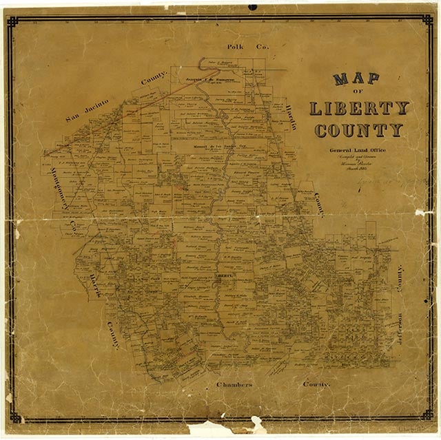
Martha is on State Highway 321, three miles north of Dayton and forty-two miles northeast of Houston in western Liberty County. The locale was established as a shipping point on the Beaumont, Sour Lake and Western Railway shortly after the completion of that line to Houston in 1908. Although Martha saw only limited residential development, it did prove to be rich in oil deposits, with the Martha and South Martha oilfields being discovered in 1949 and 1958, respectively.
Robert Wooster | © TSHA
Adapted from the official Handbook of Texas, a state encyclopedia developed by Texas State Historical Association (TSHA). It is an authoritative source of trusted historical records.
- ✅ Adoption Status:
Adopted by:
Leo & Kim Brown
Our Home
Until: July 8th, 2024
Belongs to
Martha is part of or belongs to the following places:
Currently Exists
No
Place type
Martha is classified as a Town
Location
Latitude: 30.08688200Longitude: -94.91825940
Has Post Office
No
Is Incorporated
No