Adkins

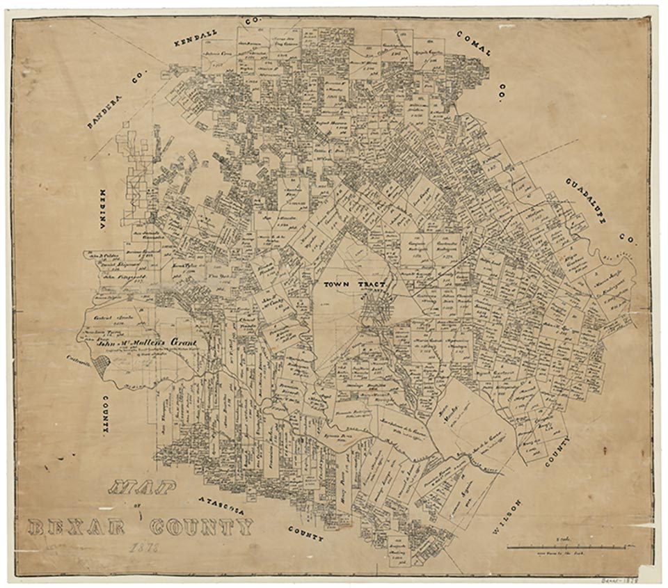
Adkins, on Loop 1604 fourteen miles east of downtown San Antonio in eastern Bexar County, became a flag station on the Galveston, Harrisburg and San Antonio Railway in the 1880s. The settlement was named for William Adkins Jones, who gave land for the depot and switchyard. An Adkins post office was established in 1896. In 1910 the community had two churches, a school, and a population of 100. In 1940 four businesses and a population of 150 were reported. With the expansion of nearby San Antonio and the construction of Loop 1604 the community grew, and in 1990 it had thirty-two businesses and a population of 241.
Claudia Hazlewood | © TSHA

Adapted from the official Handbook of Texas, a state encyclopedia developed by Texas State Historical Association (TSHA). It is an authoritative source of trusted historical records.

- ✅ Adoption Status:
Belongs to
Adkins is part of or belongs to the following places:
Currently Exists
Yes
Place type
Adkins is classified as a Town
Location
Latitude: 29.39301290Longitude: -98.23723290
Has Post Office
Yes
Is Incorporated
No
Population Count, 2009
400
