Alamo Alto

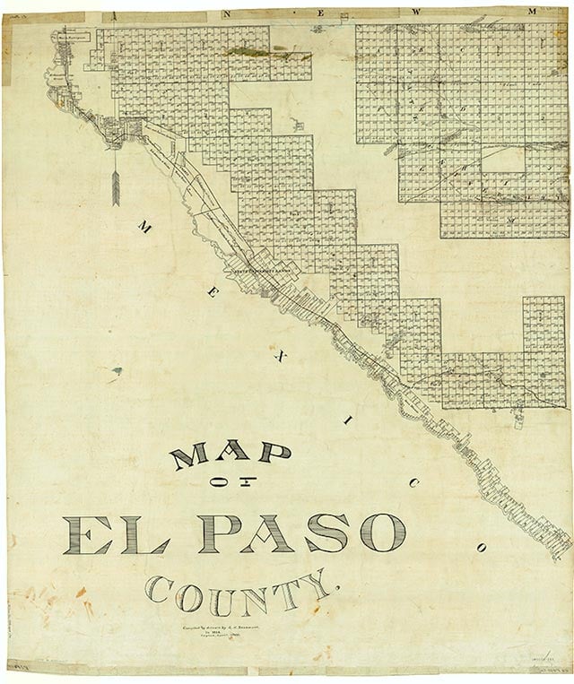
Alamo Alto is on State Highway 20 some 4½ miles southeast of Tornillo and thirty-five miles southeast of El Paso in southeastern El Paso County. The settlement was founded before 1931, when three businesses were reported there. Its estimated population grew from ten in the mid-1930s to twenty-five in the mid-1940s. The community consisted of a few scattered dwellings on maps in the early 1970s. In 2000 the population was twenty-five.
Martin Donell Kohout | © TSHA

Adapted from the official Handbook of Texas, a state encyclopedia developed by Texas State Historical Association (TSHA). It is an authoritative source of trusted historical records.

- ✅ Adoption Status:
Belongs to
Alamo Alto is part of or belongs to the following places:
Currently Exists
Yes
Place type
Alamo Alto is classified as a Town
Location
Latitude: 31.40512160Longitude: -106.02386100
Has Post Office
No
Is Incorporated
No
Population Count, 2009
19
