Amargosa
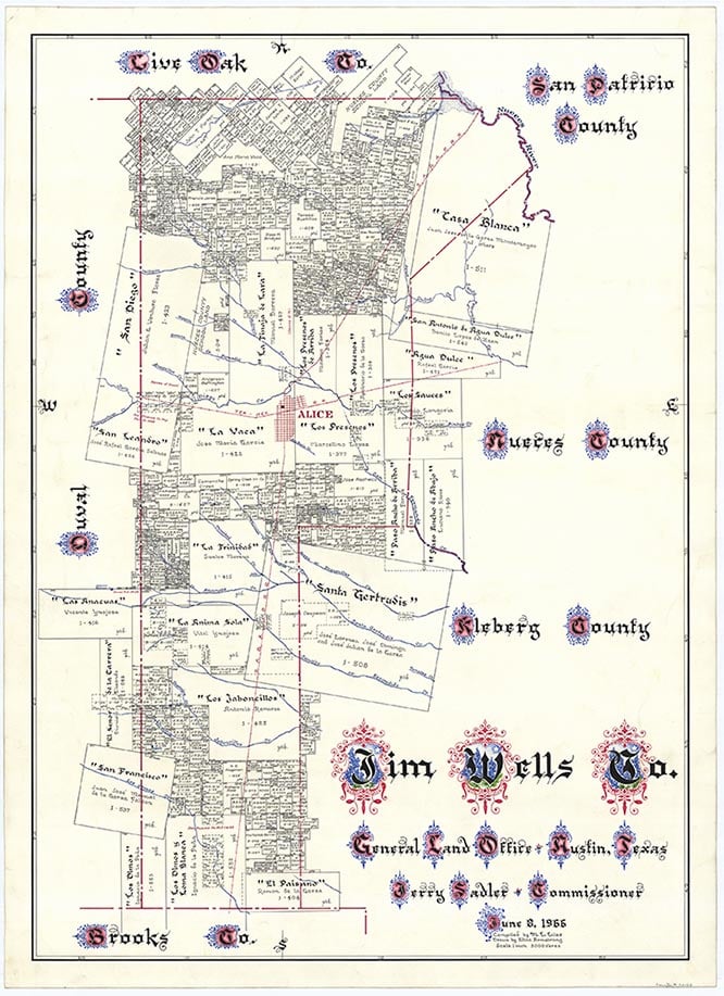
Amargosa (Armagosa) is a mile off U.S. Highway 281 and eight miles northwest of Alice in northwestern Jim Wells County. It was originally a ranch settlement on Amargosa Creek, owned by Manuel Barrera of Mier, Tamaulipas, Mexico, who received title to the Tinaja de Lara grant on September 28, 1836. By 1849 Amargosa was a prominent South Texas ranch, well-stocked with sheep, goats, and horses, and dealing in wool and hides. During the early 1850s, however, repeated Indian raids forced the occupants to leave. In 1852 Hamilton P. Bee and associates took over the ranch, but in 1854 Barrera's heirs won back the land in a suit. Amargosa had grown into a settlement of 100 residents by 1877, when a school was established to serve forty children. When the San Antonio and Aransas Pass Railway bypassed Amargosa in 1898, the town lost its importance as a trade center. Its school stayed in operation and became the Amargosa common school district, but the name was changed to El Carro in 1926. In 1935 another school was built four miles north of the original and was named Armagosa. In 1965 two fort-shaped houses from the old Amargosa were still in the area. Amargosa was shown on a 1989 map of the area with its original spelling. In 1993 it was a dispersed rural community with a cemetery and a quarry. Amargosa is Spanish for "bitter."
Agnes G. Grimm | © TSHA
Adapted from the official Handbook of Texas, a state encyclopedia developed by Texas State Historical Association (TSHA). It is an authoritative source of trusted historical records.
- ✅ Adoption Status:
- This place is available for adoption! Available for adoption!
- Adopted by:
- Your name goes here
- Dedication Message:
- Your message goes here
Belongs to
Amargosa is part of or belongs to the following places:
Currently Exists
Yes
Place type
Amargosa is classified as a Town
Associated Names
- [Armagosa]
- (El Carro)
- (Owl Ranch)
- (Tecolote)
Location
Latitude: 27.89068790Longitude: -98.11201400
Has Post Office
No
Is Incorporated
No
Population Count, 2021 View more »
125