Ashcraft
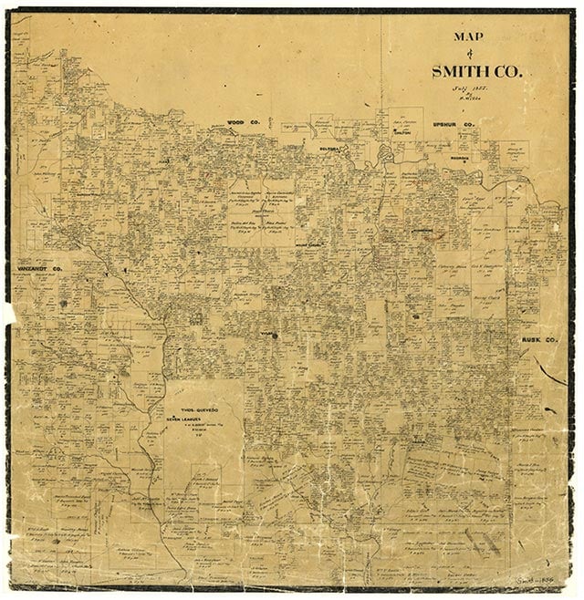
Elkton, also known as Ashcraft, was on U.S. Highway 69 just south of Tyler in southwestern Smith County. It was originally part of the Don Thomas Quevado land survey and was called Ashcraft by its earliest settlers. In 1877 the settlement became a station on what later became the St. Louis Southwestern Railway, and in 1889 the community name was changed to Elkton. In 1936 Elkton had a business, a cemetery, and a few scattered farms near a bladed earth road. By 1973 it was no longer identified on county maps, though Cathedral Church was located in the area. In 1990 Elkton was a dispersed rural community.
Vista K. McCroskey | © TSHA
Adapted from the official Handbook of Texas, a state encyclopedia developed by Texas State Historical Association (TSHA). It is an authoritative source of trusted historical records.
- ✅ Adoption Status:
Belongs to
Ashcraft is part of or belongs to the following places:
Currently Exists
No
Place type
Ashcraft is classified as a Town
Associated Names
- (Elkton)
Has Post Office
No
Is Incorporated
No