B.A. Steinhagen Lake
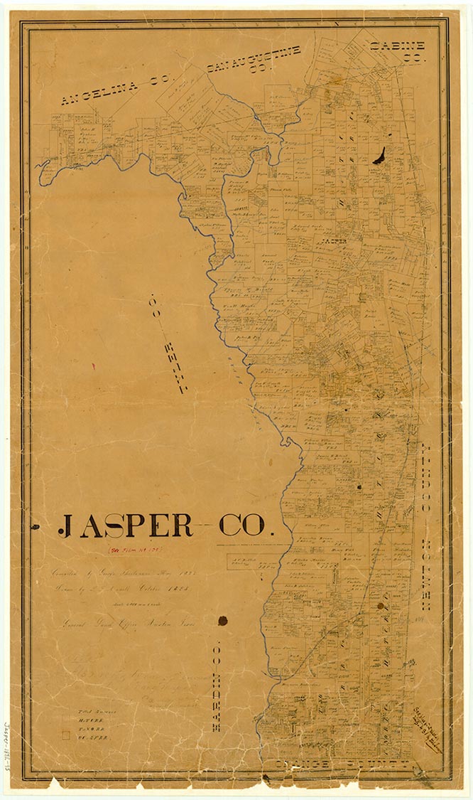
Lake B. A. Steinhagen is on the Neches River a half mile north of Town Bluff in Tyler and Jasper counties (at 30°47' N, 94°10' W). It is impounded by the Town Bluff Dam. The lake has a drainage area of 7,573 square miles. Its paved earthfill dam has a spillway crest elevation of eighty-five feet above mean sea level. Construction on the dam by Reynolds, William, and Noonan Construction Company started in March 1947. The dam is owned by the United States government and is operated by the United States Army Corps of Engineers. The lake, which is eight miles long and four miles wide, is crossed near its midpoint by U.S. Highway 190. Martin Dies, Jr., State Park and Sandy Creek Park are on its banks.
| © TSHA

Adapted from the official Handbook of Texas, a state encyclopedia developed by Texas State Historical Association (TSHA). It is an authoritative source of trusted historical records.

- ✅ Adoption Status:
Belongs to
B.A. Steinhagen Lake is part of or belongs to the following places:
Lake Measurements
- Surface Area (in acres): 10,235
- Storage Capacity (in acre-feet): 69,259
Lake Maintained or Owned by
USAE
Date of Origin
1951 (73 years ago)Currently Exists
Yes
Place type
B.A. Steinhagen Lake is classified as a Lake
Purposes
- Conservation
- Flood Control
- Recreation
Associated Names
- (Town Bluff Reservoir)
- (Dam B Reservoir)
More about B.A. Steinhagen Lake
Impounded by Town Bluff Dam

