Balch
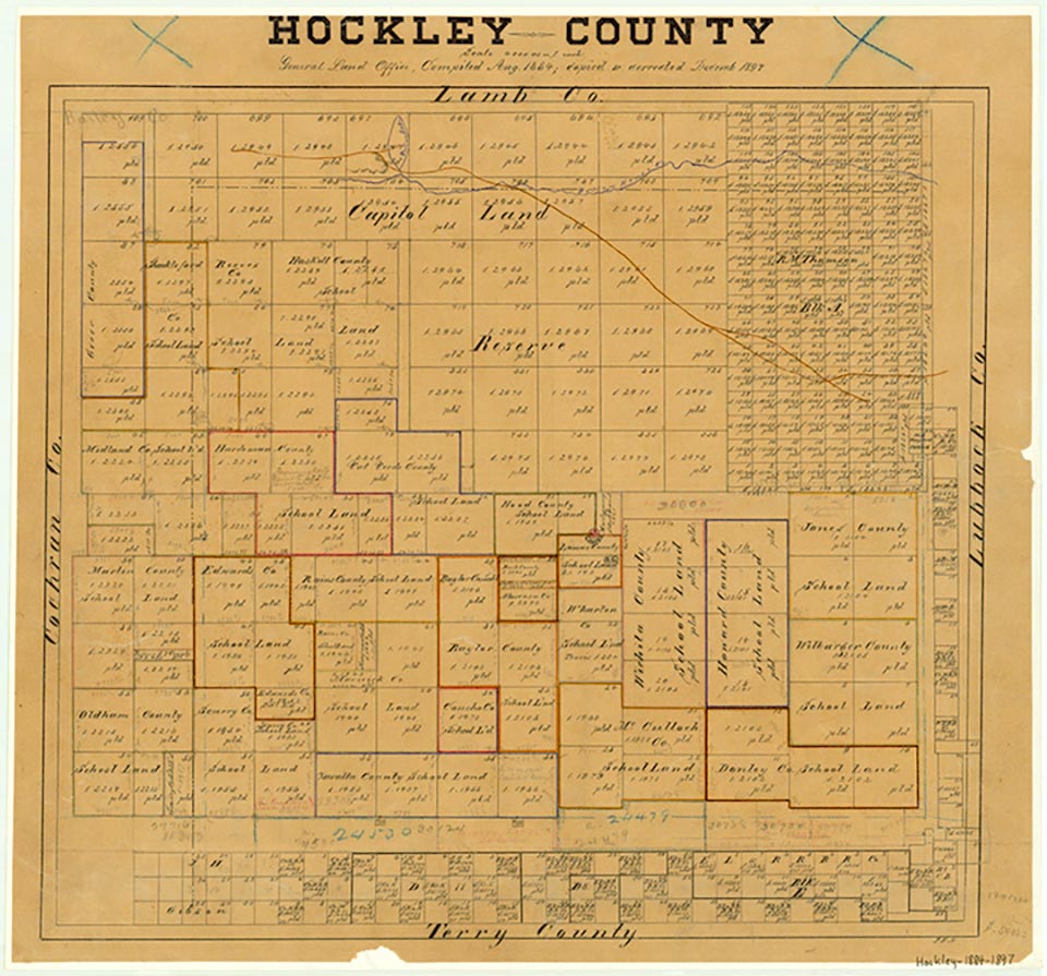
Balch was a mile southwest of the Lubbock county line on U.S. Highway 62/82 and the Atchison, Topeka and Santa Fe Railway in southeast Hockley County. The settlement was named for A. P. Balch, a director of the railroad from 1868 to 1871. It served area farmers as a shipping station. Although Balch remained on county maps of the 1980s, a grain elevator and several abandoned buildings are all that remains.
Continue Reading
Charles G. Davis | © TSHA
Adapted from the official Handbook of Texas, a state encyclopedia developed by Texas State Historical Association (TSHA). It is an authoritative source of trusted historical records.
- ✅ Adoption Status:
Belongs to
Balch is part of or belongs to the following places:
Currently Exists
No
Place type
Balch is classified as a Town
Location
Latitude: 33.45380100Longitude: -102.10046200
Has Post Office
No
Is Incorporated
No