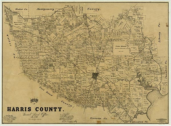
Bammel
Bammel, eighteen miles north of downtown Houston at the intersection of Farm Road 1960 and Kuykendahl Road in north central Harris County, was established after the neighboring towns of Klein, Westfield, and Spring. It was named for Charles Bammel, a German Houstonian who built the Bammel and Kuehnle Merchandise store with his partner in 1915 and moved to the community for health reasons. A Bammel post office, at which Herman Kuehnle was the first postmaster, operated from 1916 until 1929. Bammel's store burned in 1927 but was later rebuilt to serve the new Bammel Forest subdivision. The town's population was reported as roughly fifty from 1929 until oil was discovered in the area in 1938. In 1943 the community reported two stores and a population of 200, but in 1949 its population was estimated at twenty. During the 1980s Bammel's residents were mainly commuters who worked in Houston. The community included two shopping centers, several schools, a hospital, and nearby cemeteries. No population figures were available for Bammel in the 2000s. The community was located within the city of Houston.
Claudia Hazlewood | © TSHA
Adapted from the official Handbook of Texas, a state encyclopedia developed by Texas State Historical Association (TSHA). It is an authoritative source of trusted historical records.
- ✅ Adoption Status:
- This place is available for adoption! Available for adoption!
- Adopted by:
- Your name goes here
- Dedication Message:
- Your message goes here
Belongs to
Bammel is part of or belongs to the following places:
Currently Exists
No
Place type
Bammel is classified as a Town
Location
Latitude: 30.00688750Longitude: -95.46355020
Has Post Office
No
Is Incorporated
No