Bancroft
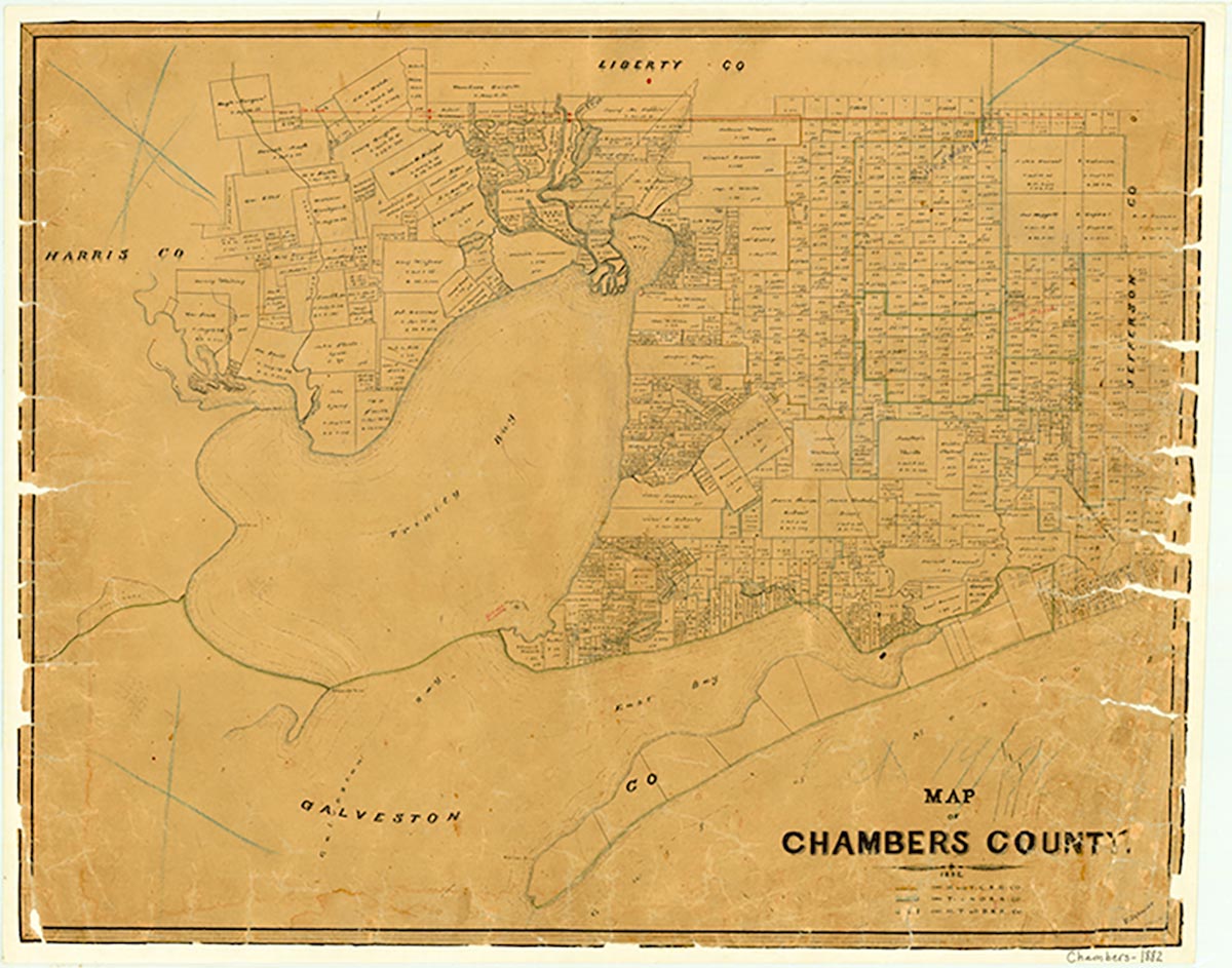
Bancroft was on what is now Farm Road 1663 thirty miles southwest of Beaumont in northeastern Chambers County. It was named by pioneer settler F. M. Richmond for his maternal grandmother. The community organized a school in 1898 and secured a post office two years later. Although Bancroft lost its post office in 1907, it had 112 inhabitants in 1909. In the severe hurricane of 1915, which devastated much of Chambers County, saltwater flooding ruined many of the area's citrus and rice crops (see HURRICANES). Low prices for rice in the post-World War I years, poor drainage (which contributed to an outbreak of malaria), and the lack of good roads led to the community's further decline. No record has been found of Bancroft after 1928, when it appeared on a United States Army topographic map.
Robert Wooster | © TSHA
Adapted from the official Handbook of Texas, a state encyclopedia developed by Texas State Historical Association (TSHA). It is an authoritative source of trusted historical records.
- ✅ Adoption Status:
Belongs to
Bancroft is part of or belongs to the following places:
Currently Exists
No
Place type
Bancroft is classified as a Town
Location
Latitude: 29.85142800Longitude: -94.40083200
Has Post Office
No
Is Incorporated
No