Barker Reservoir

The Barker Reservoir spillway flooded after Hurricane Ike in 2008
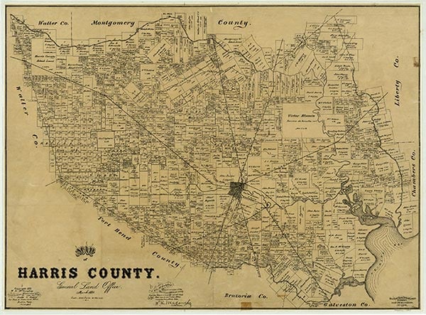
Barker Reservoir is southwest of the intersection of U.S. Highway 90 and State Highway 6, about one mile south of Addicks in western Harris County (at 29°46' N, 95°39' W). The reservoir is formed on Buffalo Bayou by a rolled-earth dam 72,900 feet long and 112.5 feet high. The spillway elevation is 73.2 feet, and the drainage area covers 128 square miles. The storage capacity of the reservoir, 199,000 acre-feet, expands to 209,000 acre-feet at flood stage. The purpose of the reservoir is to provide flood control on the Buffalo Bayou watershed in the San Jacinto River basin for the city of Houston. Water is stored in the reservoir until it can be released to flow downstream without endangering property. The United States Army Corps of Engineers completed the Barker dam in February 1946, but the reservoir had already been used in 1945 for spring flood control. The total storage capacity of the Barker Reservoir and the adjacent Addicks Reservoir is 411,500 acre-feet.
| © TSHA
Adapted from the official Handbook of Texas, a state encyclopedia developed by Texas State Historical Association (TSHA). It is an authoritative source of trusted historical records.
- ✅ Adoption Status:
- This place is available for adoption! Available for adoption!
- Adopted by:
- Your name goes here
- Dedication Message:
- Your message goes here
Belongs to
Barker Reservoir is part of or belongs to the following places:
Lake Measurements
- Surface Area (in acres): 17,225
- Storage Capacity (in acre-feet): 270,000
Lake Maintained or Owned by
USAE
Date of Origin
1945 (79 years ago)Currently Exists
Yes
Place type
Barker Reservoir is classified as a Lake
Purpose
- Flood Control
More about Barker Reservoir
Barker only has water during times of flood and is dry most of the year