Bentonville
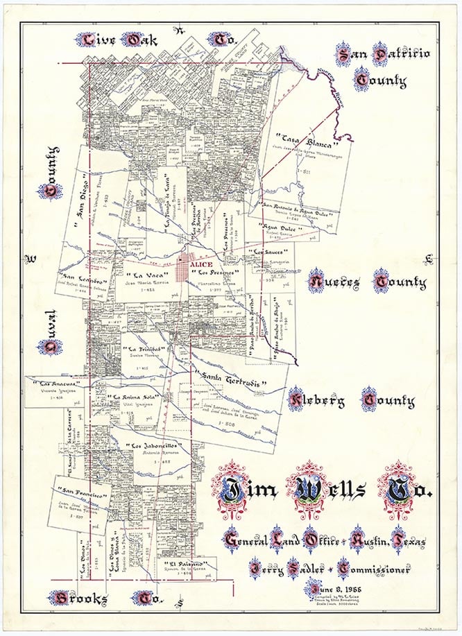
Bentonville is on State Highway 44 seven miles east of Alice in east central Jim Wells County. A post office established there in 1910 operated until 1932. Bentonville was named for an early settler. By 1914 the community had a population of fifty, two general stores, a cotton gin, and a blacksmith. A stop on the Texas-Mexican Railway was also established there that year. By 1936 the town had only scattered dwellings and farm units. In 1949 it had a population of twenty and one business. The population remained constant in the 1950s and 1960s and decreased to fifteen in 1974. In 1979 the community had scattered dwellings, a windmill, an oil well, and was a stop on the Texas-Mexican Railway. In 2000 the population was still fifteen.
Alicia A. Garza | © TSHA

Adapted from the official Handbook of Texas, a state encyclopedia developed by Texas State Historical Association (TSHA). It is an authoritative source of trusted historical records.

- ✅ Adoption Status:
Belongs to
Bentonville is part of or belongs to the following places:
Currently Exists
Yes
Place type
Bentonville is classified as a Town
Location
Latitude: 27.77585900Longitude: -97.95805600
Has Post Office
No
Is Incorporated
No
Population Count, 2009
15

