Bethany
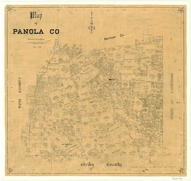
Bethany is on the Louisiana state line and U.S. Highway 79 twenty-two miles northeast of Carthage in northeastern Panola County. The site was first settled around 1840. The community, which grew up as a stopping point for settlers moving to Texas from the Old South, was originally known as Vernon, but the name was changed to Bethany around 1849 when a post office was established. In the 1840s the town had a log store, a tavern, a water-powered grain mill, and a tannery. In 1860 the post office was relocated to Caddo Parish, Louisiana. After the Civil War Bethany began to decline, and by the late 1890s the local school had only nine students. The development of the Bethany gas field, which opened in the 1920s, brought a resurgence of the economy, and by the mid-1930s the community had two churches, five stores, an elementary school, and a number of houses. After World War II Bethany began to decline again. In the mid-1960s it supported a church, a community center, and several businesses. In the early 1990s Bethany was a dispersed rural community with a church and a few stores. One of the stores, bisected by the state line, was built in 1889 by a barkeeper who wanted to take advantage of the differences in state laws; in half of the store drinking was legal, in the other gambling was legal. In 2000 the population was fifty.
Christopher Long | © TSHA
Adapted from the official Handbook of Texas, a state encyclopedia developed by Texas State Historical Association (TSHA). It is an authoritative source of trusted historical records.
- ✅ Adoption Status:
Belongs to
Bethany is part of or belongs to the following places:
Currently Exists
Yes
Place type
Bethany is classified as a Town
Associated Names
- (Vernon)
Location
Latitude: 32.37321220Longitude: -94.04324190
Has Post Office
No
Is Incorporated
No
Population Count, 2009
50