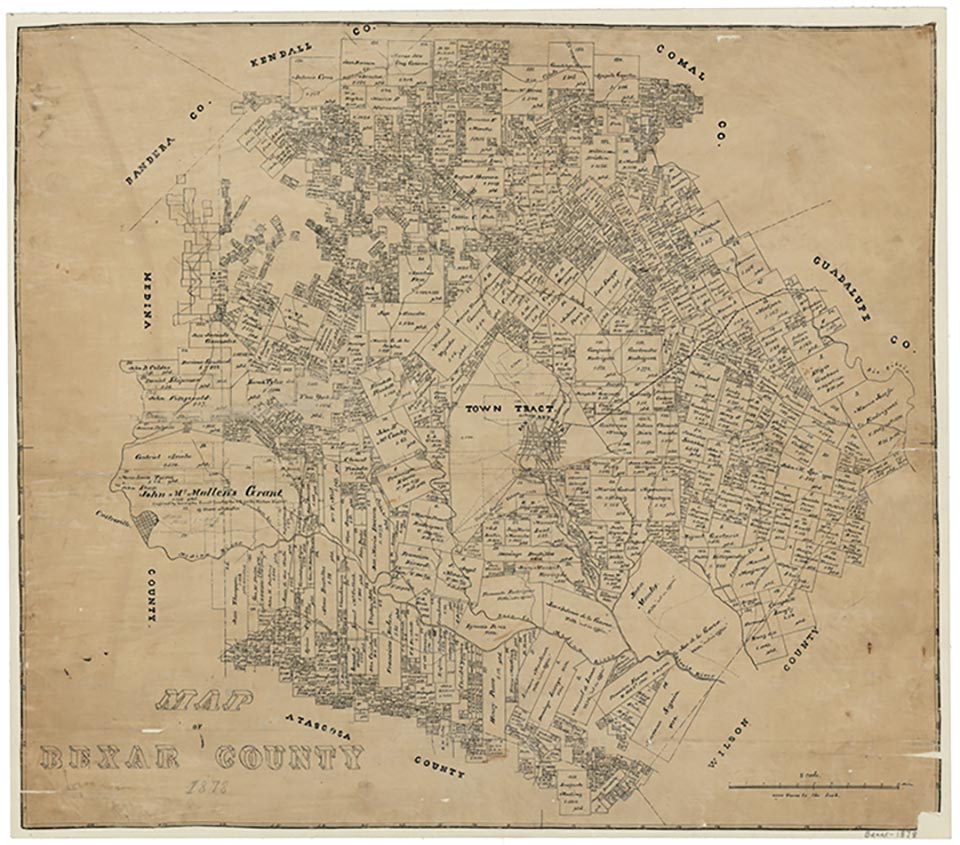
Bexar

Bexar, also known as La Colorada, is two miles west of Somerset on Farm Road 2790 and Kinney Road, eighteen miles southwest of downtown San Antonio in southwestern Bexar County. Bexar was first settled by John Kinney (also spelled Kenney), an Irish farmer and rancher, in 1854. In 1868 Kinney and other area residents founded San Patricio de Bexar Catholic Church. By the mid-1880s the Kinney family was operating an open pit coal mine in Bexar. Coal was originally transported to San Antonio by ox-cart. The Bexar post office opened in 1883 in the general store, which was painted bright red. For this reason, the town was known by the Hispanic workers as “La Colorada” or “La Mina de la Colorada.” In 1894 there were thirty to forty-five small houses, a general store owned by John Conoly and Dr. James A Matthews, a doctor’s office, a theater, a post office, a cotton gin, a dance hall, a cantina, and three churches.
In 1909 the Artesian Belt Railroad came through the area and bypassed Bexar. The town of Somerset was established two miles to the east on the rail line and most of Bexar moved to Somerset. A spur was eventually constructed to connect the coal mine. In 1913 C.C. Kurtz, while drilling a water well, discovered oil in Somerset. This turned out to be the largest shallow oil producing field in the world at the time. The local economy quickly shifted to oil production. Shortly thereafter the general store closed, all three churches moved to Somerset, and Bexar went into decline. In the late 2000s the three Bexar cemeteries were still in use and a few scattered houses remained in the area.
Art Martínez de Vara | © TSHA

Adapted from the official Handbook of Texas, a state encyclopedia developed by Texas State Historical Association (TSHA). It is an authoritative source of trusted historical records.

- ✅ Adoption Status:
- This place is available for adoption! Available for adoption!
- Adopted by:
- Your name goes here
- Dedication Message:
- Your message goes here
Belongs to
Bexar is part of or belongs to the following places:
Currently Exists
No
Place type
Bexar is classified as a Town
Associated Names
- [2]
- (Center Point)
- (La Colorado)
Location
Latitude: 29.22551700Longitude: -98.68779930
Has Post Office
No
Is Incorporated
No
