Blewett
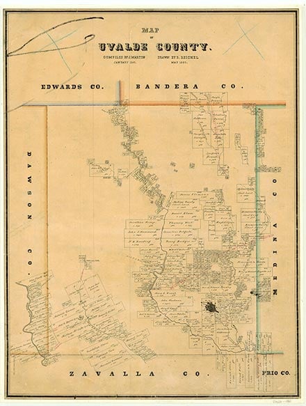
Blewett, a mining community originally known as Carbonville, is on Farm Road 1022 and Turkey Creek five miles southeast of Cline in far southwestern Uvalde County. Outcroppings of limestone rock asphalt cover 50,000 to 60,000 acres in the area. The Lathe Carbon Company, formed, according to one source, by a group of New York capitalists, opened a bitumen mine at the site in 1888. Failure to sell its bitumen, in a market limited to the paint and varnish industry, forced the company to close before its second year. Beaumont capitalist John Blewett Smyth, for whom the community was probably named, used bituminous limestone to develop a new road-paving material in 1912. The first production of limestone rock asphalt for street and road surfacing began at the Blewett location in 1912. A post office opened at the community in 1928, two years after it had become the terminus of a spur line from the Texas and New Orleans Railroad at Cline. The township is often designated as Mine No. 2 to distinguish it from Smyth Mine No. 1, a mile distant. High-grade commercial asphalt was produced at an average annual rate of 1,250,000 tons during peak production in 1927, and 125,000 tons during the 1930s. By 1940 many of Blewett's buildings had been abandoned, though a school and a commissary were still in operation there. Although the community reported an estimated population of only fifty in 1940, some evidence suggests that it had as many as 500 residents during periods of peak operation at the mines. In 1948 Blewett had the asphalt mine, a nine-section group dwelling, a hotel or tourist camp, one additional business, a school, and a scattering of residences. Although the Missouri Pacific rail service to Uvalde was discontinued in April 1966, the railroad continued service to the Uvalde Rock Asphalt Company and White's Uvalde Mines near Blewett. By 1988 Blewett had an estimated population of twenty-five and two businesses, one of which housed the post office. The population was still reported as twenty-five in 1990, but dropped to ten in 2000.
Ruben E. Ochoa | © TSHA
Adapted from the official Handbook of Texas, a state encyclopedia developed by Texas State Historical Association (TSHA). It is an authoritative source of trusted historical records.
- ✅ Adoption Status:
- This place is available for adoption! Available for adoption!
- Adopted by:
- Your name goes here
- Dedication Message:
- Your message goes here
Belongs to
Blewett is part of or belongs to the following places:
Currently Exists
Yes
Place type
Blewett is classified as a Town
Associated Names
- (Carbonville)
Location
Latitude: 29.18496200Longitude: -100.03061990
Has Post Office
No
Is Incorporated
No
Population Count, 2014
7