Blue Ridge
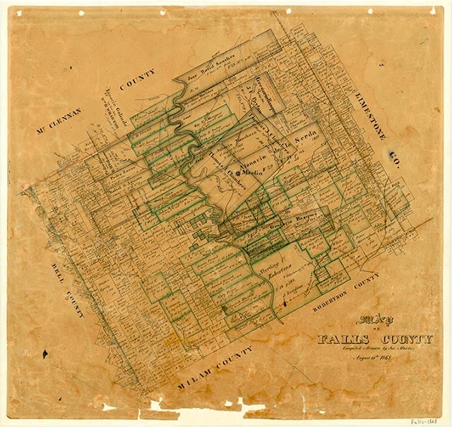
Blue Ridge, on Farm Road 1771 about ten miles east of Marlin in eastern Falls County, takes its name from a series of low hills in the area. In 1850 residents of the community objected to the boundaries of the new Falls County; they thought that the Brazos River should form the western county line and the Navasota River should form the eastern one. They also wanted Blue Ridge to be the county seat. But they succeeded only in delaying the organization of the county until the following year. A post office was established at Blue Ridge in 1854 and discontinued in 1857. The railroads that built through eastern Falls County in the early 1870s bypassed Blue Ridge, eliminating any chance it had of developing as a commercial center. Part of the widely dispersed community was known as Harlanville for a number of years. The Blue Ridge school had fifty-five students in 1933; it was annexed by the Marlin Independent School District in 1948. A few scattered houses marked the community's location on county highway maps in the late 1940s, but only one business remained on maps in the 1980s. No population estimates were available.
Vivian Elizabeth Smyrl | © TSHA
Adapted from the official Handbook of Texas, a state encyclopedia developed by Texas State Historical Association (TSHA). It is an authoritative source of trusted historical records.
- ✅ Adoption Status:
- This place is available for adoption! Available for adoption!
- Adopted by:
- Your name goes here
- Dedication Message:
- Your message goes here
Belongs to
Blue Ridge is part of or belongs to the following places:
Currently Exists
No
Place type
Blue Ridge is classified as a Town
Associated Names
- [North-]
- [Upper-]
- (Harlanville)
- (Stranger)
Location
Latitude: 31.27628920Longitude: -96.74137070
Has Post Office
No
Is Incorporated
No