Blue Ridge
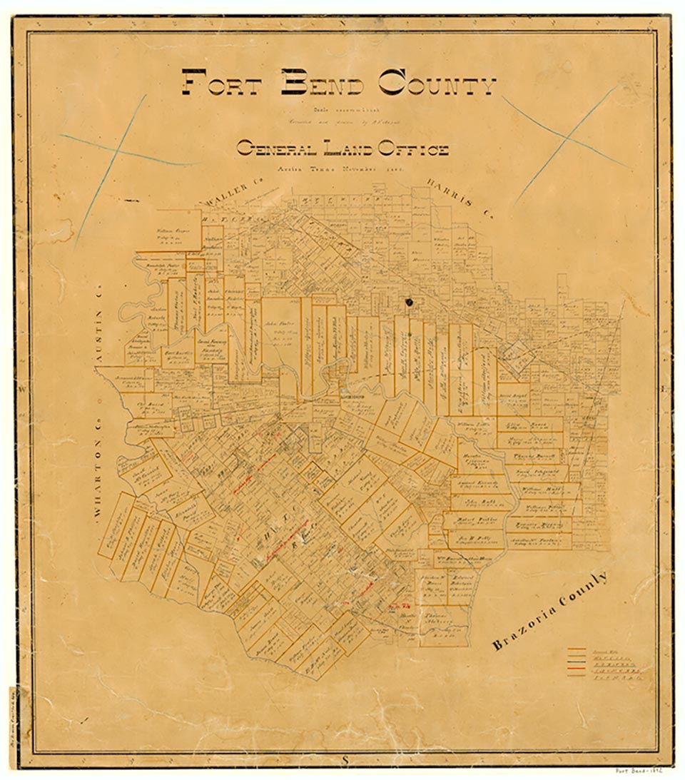
Blue Ridge is sixteen miles east of Richmond on a ridge of Oyster Creek in northeastern Fort Bend County. Though part of Stephen F. Austin's first colony, the site was not permanently occupied until the late 1880s. Blue Ridge never had a post office or school. The W. Allen Robinson family built a ranch headquarters there in the 1890s. The Robinsons, among the first families to settle in the vicinity, had arrived from Arlington, Texas, in 1894. In 1919 oil was discovered nearby. Soon after, a salt mine opened, and in 1925 gas was discovered. During this time Blue Ridge (also known as Hobby) became a boomtown with gambling houses and a bank. By 1936 the site had been incorporated by the Blue Ridge State Prison Farm, and most residents were prison system personnel. In 1958 the Texas Board of Corrections voted to sell the 4,348 acres of prison land at Blue Ridge for private development. No population figures were registered for Blue Ridge until 1970, when the settlement listed fifty inhabitants and no businesses. The area developed phenomenally beginning in the early 1970s, when parts of it were annexed by Houston and several elementary schools were opened in Blue Ridge, including the Briargate, Ridgegate, Ridgemont, and Blue Ridge elementary schools of the Fort Bend Independent School District. In 1979, on the site that once housed convicts, Willowridge High School opened. In 1986 Christa McAuliffe Middle School, named for schoolteacher and astronaut Christa McAuliffe, opened near Willowridge High School. Residents support numerous ethnically and religiously varied churches.
Peggy Isbell, Charles Woodson | © TSHA
Adapted from the official Handbook of Texas, a state encyclopedia developed by Texas State Historical Association (TSHA). It is an authoritative source of trusted historical records.
- ✅ Adoption Status:
- This place is available for adoption! Available for adoption!
- Adopted by:
- Your name goes here
- Dedication Message:
- Your message goes here
Belongs to
Blue Ridge is part of or belongs to the following places:
Currently Exists
No
Place type
Blue Ridge is classified as a Town
Associated Names
- [-State Farm]
- (Hobby)
Location
Latitude: 29.58253200Longitude: -95.49235600
Has Post Office
No
Is Incorporated
No