Bogel
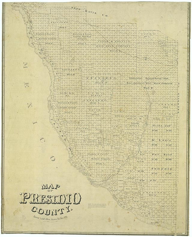
Long Draw, also called Draw Creek, rises at the edge of Cuesta del Burro in north central Presidio County (at 30°13' N, 104°15' W) and runs northeast and then southeast for twenty-six miles to its mouth on Alamito Creek, one mile south of Bogel (at 30°09' N, 104°03' W). Its course crosses desert mountain terrain, canyonland of volcanic rocks, steep slopes of conglomerates, and alluvial washes of sands and gravels. The soils in the area are generally light reddish-brown to brown sand and clay loam, often rough and stony. The vegetation consists primarily of sparse grasses, cacti, and desert shrubs.
| © TSHA
Adapted from the official Handbook of Texas, a state encyclopedia developed by Texas State Historical Association (TSHA). It is an authoritative source of trusted historical records.
- ✅ Adoption Status:
Belongs to
Bogel is part of or belongs to the following places:
Currently Exists
No
Place type
Bogel is classified as a Town
Location
Latitude: 30.09000000Longitude: -104.03000000
Has Post Office
No
Is Incorporated
No