Borden County

Borden County, Texas

Borden County, Texas
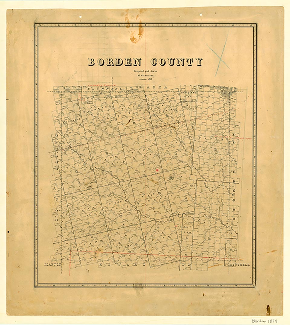
Borden County, at the edge of the Llano Estacado, is bounded on the east by Scurry County, on the south by Howard County, on the west by Dawson County, and on the north by Lynn and Garza counties. The rolling, broken land of the county drains to the Colorado River and its tributaries and to Lake J. B. Thomas. The Caprock, Gail Mountain, and Muchakooga Peak are notable physical features. The soils are loams, sandy loams, and clay. The county center is at 32°45' north latitude and 101°25' west longitude, seventy miles southeast of Lubbock. The county comprises 907 square miles at 2,400–3,000 feet elevation. The annual rainfall is 18.2 inches, and the area has a 214-day growing season. The average minimum temperature in January is 32° F; the maximum in July is 96°. The highway system includes U.S. Highway 180 (west-east) and Farm Road 669 (north-south).
Comanches hunted buffalo in the region before White settlement. It was within the range of the Penateka band, also called the Honey-Eaters or Wasps, the largest and best-known Comanche band. The Penatekas led the advance into the southern plains in the eighteenth century after the people, a segment of the northern Shoshones, learned the use of Spanish horses and transformed themselves from impoverished root and plant gatherers to hunters. Settlers were not attracted to the area that is now Borden County until the end of the nineteenth century. It was too distant from the United States Army's frontier outposts to be safe even after the Civil War, and it seemed too dry to sustain ranching and farming. The county was marked off in 1876 from Bosque County and named for Gail Borden, Jr., a newspaper publisher and organizer of the Republic of Texas, and a surveyor who helped lay out the site of Houston and prepared the first topographical map of Texas.
William R. Hunt, John Leffler | © TSHA
Adapted from the official Handbook of Texas, a state encyclopedia developed by Texas State Historical Association (TSHA). It is an authoritative source of trusted historical records.
- ✅ Adoption Status:
Currently Exists
Yes
Place type
Borden County is classified as a County
Altitude Range
2258 ft – 2990 ft
Size
Land area does not include water surface area, whereas total area does
- Land Area: 897.4 mi²
- Total Area: 906.1 mi²
Temperature
January mean minimum:
33.1°F
July mean maximum:
94.8°F
Rainfall, 2019
19.1 inches
Population Count, 2019
654
Civilian Labor Count, 2019
392
Unemployment, 2019
3.8%
Property Values, 2019
$892,535,690 USD
Per-Capita Income, 2019
$63,756 USD
Retail Sales, 2019
$86,726 USD
Wages, 2019
$2,976,382 USD
County Map of Texas
Borden County
- Borden County
Places of Borden County
| Place | Type | Population (Year/Source) | Currently Exists |
|---|---|---|---|
| Town | – | – | |
| Town | – | – | |
| Town | – | – | |
| Town | – | – | |
| Town | 173 (2021) | Yes | |
| Town | – | – | |
| Town | – | – | |
| Town | – | – | |
| Town | – | – | |
| Town | – | – | |
| Town | – | – | |
| Lake | – | Yes | |
| Town | – | – | |
| Town | – | – | |
| Town | – | – | |
| Town | – | – | |
| Town | – | – |
Proud to call Texas home?
Put your name on the town, county, or lake of your choice.
Search Places »