Borrego

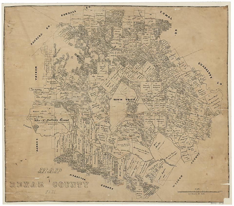
Borrego was on the south bank of the San Antonio River sixteen miles southeast of downtown San Antonio in southeastern Bexar County. It was established around 1900, and by the mid-1930s it had a school, a church, a store, and a number of houses. With the growth of San Antonio after World War II Borrego gradually lost its separate identity, and by the 1950s it was no longer shown on maps.
Christopher Long | © TSHA

Adapted from the official Handbook of Texas, a state encyclopedia developed by Texas State Historical Association (TSHA). It is an authoritative source of trusted historical records.

- ✅ Adoption Status:
Belongs to
Borrego is part of or belongs to the following places:
Currently Exists
No
Place type
Borrego is classified as a Town
Location
Latitude: 29.28357190Longitude: -98.36640220
Has Post Office
No
Is Incorporated
No
