Bottom
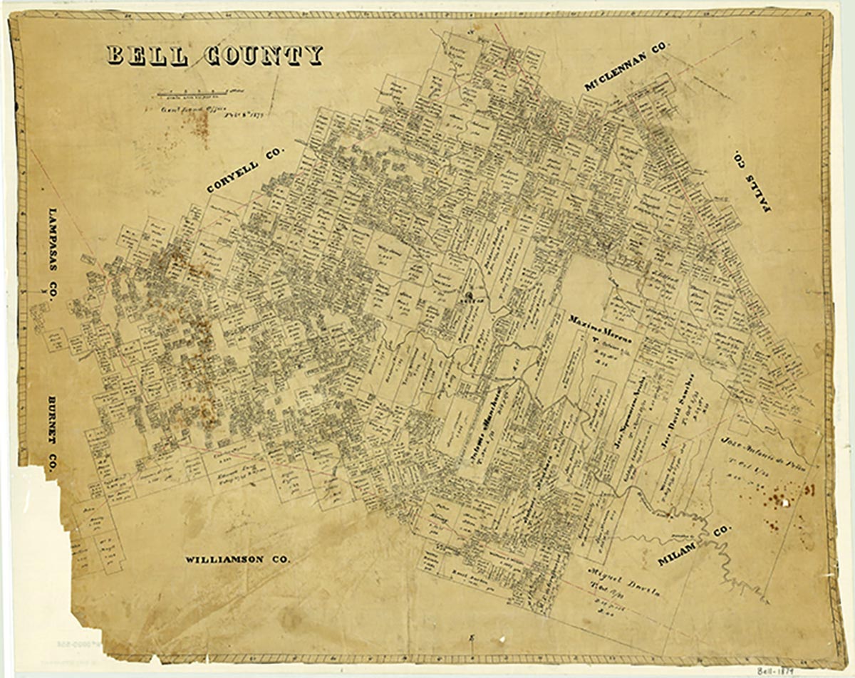
Bottom (Bottoms) was six miles north of Temple and six miles southeast of Troy in northeastern Bell County. The community was named for Chatham Bottoms, who arrived in the county in 1888 with his family and settled on Elm Creek. In 1891 Robert Childers gave land for a school and church. The land was deeded to the Methodist Episcopal Church, South. The first school term was 1894–95. Eventually a grocery store, gin, drugstore, and five churches were located at the community. Bottom had a population of thirty in 1896 and a post office from 1895 to 1901, when its mail was routed through Temple. In 1936 the local school contracted to Troy Independent School District and in 1940 was consolidated with it. Bottom was not shown on the 1948 county highway map.
Mark Odintz | © TSHA

Adapted from the official Handbook of Texas, a state encyclopedia developed by Texas State Historical Association (TSHA). It is an authoritative source of trusted historical records.

- ✅ Adoption Status:
Belongs to
Bottom is part of or belongs to the following places:
Currently Exists
No
Place type
Bottom is classified as a Town
Associated Names
- [-s]
Location
Latitude: 31.16690200Longitude: -97.26374500
Has Post Office
No
Is Incorporated
No

