Brazos
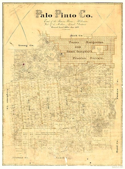
Brazos, on Farm Road 129 and the Missouri Pacific Railroad in southeastern Palo Pinto County, was established when the Texas and Pacific Railway reached the area in 1880. The community was named for the Brazos River, which the railroad crossed at its site. The town had a population of 113 and four stores by 1940. Its population was reported as forty-seven in 1980 and 1990, but rose to ninety-seven by 2000.
Continue Reading
| © TSHA
Adapted from the official Handbook of Texas, a state encyclopedia developed by Texas State Historical Association (TSHA). It is an authoritative source of trusted historical records.
- ✅ Adoption Status:
- This place is available for adoption! Available for adoption!
- Adopted by:
- Your name goes here
- Dedication Message:
- Your message goes here
Belongs to
Brazos is part of or belongs to the following places:
Currently Exists
Yes
Place type
Brazos is classified as a Town
Associated Names
- (Angoria)
Location
Latitude: 32.66151980Longitude: -98.12198830
Has Post Office
No
Is Incorporated
No
Population Count, 2021 View more »
173