Bryan Mound
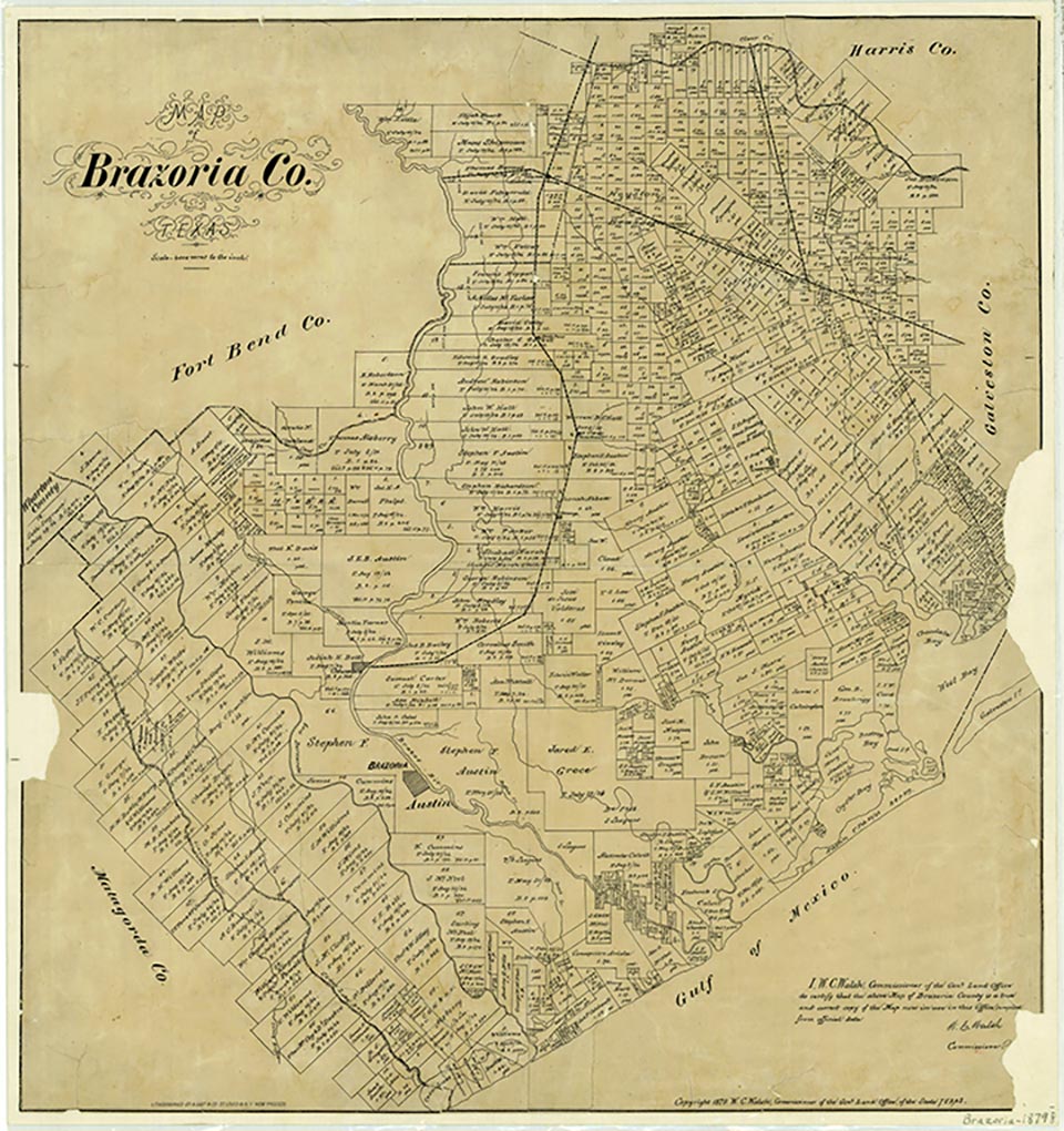
During the first decade of the twentieth century a young mining engineer by the name of Bernard Baruch discovered a salt dome with a sulfur-bearing caprock some twenty feet above the flat shoreline on the Gulf of Mexico in Brazoria County (at 28°55' N, 95°23' W). He tried unsuccessfully to encourage J. P. Morgan to go into partnership to develop the sulfur mine, but Morgan thought the venture too much of a gamble. Later other investors became interested and began a mining process, using the Frasch method for the first time in Texas. In 1912 the first sulfur was mined, and thus began the development of Freeport, Texas, which took its name from that of the Freeport Sulphur Company. Later, oil and gas were also found in the dome. The original operation closed in 1935 after having produced five million tons of sulfur.
In the late 1970s the United States Strategic Petroleum Reserve began to examine the possibilities of oil storage in large vaults that were solution mined into the salt dome. The reserve The reserve they started in Bryan Mound and the Hackberry dome in Lake Charles, Louisiana, are the two main reserves for the nation. In April 1989 another 839,000 barrels of crude oil was added to the Bryan Mound Complex, bringing the total to 219.2 million barrels of oil for reserve. The plant is located off County Road 242, 2½ miles south of Freeport.
W. G. McAlexander | © TSHA

Adapted from the official Handbook of Texas, a state encyclopedia developed by Texas State Historical Association (TSHA). It is an authoritative source of trusted historical records.

- ✅ Adoption Status:
Belongs to
Bryan Mound is part of or belongs to the following places:
Currently Exists
No
Place type
Bryan Mound is classified as a Town
Location
Latitude: 28.91552720Longitude: -95.37744070
Has Post Office
No
Is Incorporated
No

