Buchanan
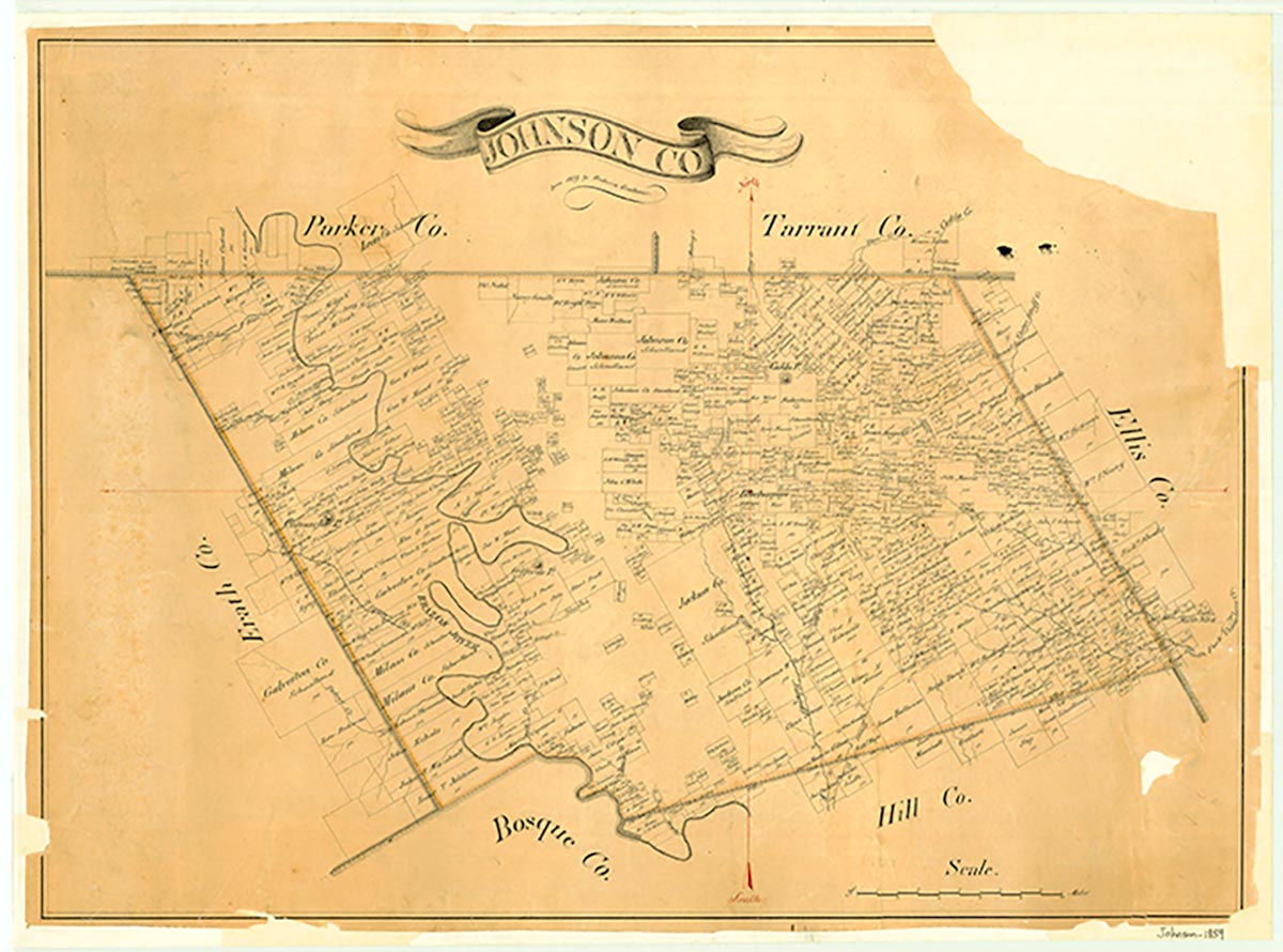
Buchanan, five miles northwest of Cleburne in central Johnson County, was established in 1856 and selected as the second county seat in a special election held on October 4 of that year, after the discovery that the original county seat, Wardville, was more than six miles from the county's geographic center. Buchanan was named for Democratic presidential nominee James Buchanan. Following the completion of a log courthouse, the first term of the county court met at Buchanan on February 16, 1857, by which time James Buchanan had been elected president. The county court continued to meet in Buchanan for just over ten years. A post office opened there in 1857, and during the following year a jail was completed. An inadequate water supply, however, severely hampered growth. In 1866 the state legislature designated a portion of western Johnson County for inclusion in the newly established Hood County. This shift of territory reduced Johnson County's size and relocated its geographic center so that Buchanan was no longer within six miles of it. In a special election on March 23, 1867, county voters chose a new county seat, Camp Henderson, which became Cleburne. Buchanan lost its post office in 1868 and was abandoned by 1892.
Brian Hart | © TSHA
Adapted from the official Handbook of Texas, a state encyclopedia developed by Texas State Historical Association (TSHA). It is an authoritative source of trusted historical records.
- ✅ Adoption Status:
- This place is available for adoption! Available for adoption!
- Adopted by:
- Your name goes here
- Dedication Message:
- Your message goes here
Belongs to
Buchanan is part of or belongs to the following places:
Currently Exists
No
Place type
Buchanan is classified as a Town
Associated Names
- [Buck Hannon]
- (Bailey's)
Location
Latitude: 32.40708610Longitude: -97.45390830
Has Post Office
No
Is Incorporated
No