Caddo Lake

Cypress trees at Caddo Lake
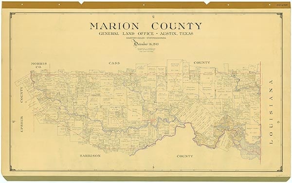
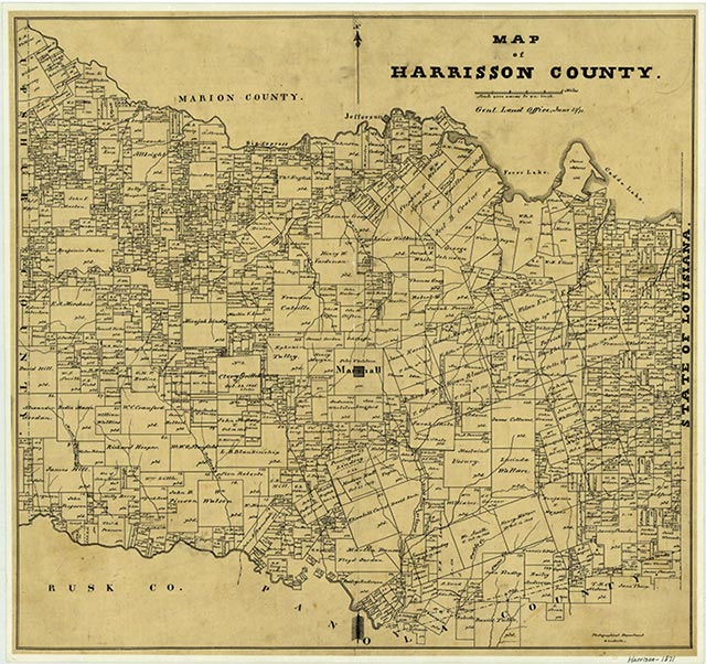
Caddo Lake is impounded by Caddo Dam in the Cypress Creek basin in Caddo Parish, Louisiana, and extends into Harrison and Marion counties, Texas; the center of the lake is located twenty-nine miles northeast of Marshall (at 30°42' N, 97°20' W). The lake, named for the Caddo Indians, was one of the largest natural lakes in the South prior to the construction of the dam. According to Caddo legend the lake was formed by an earthquake caused by a Caddo chief's failure to obey the Great Spirit. The more prosaic explanation of the lake's origin is that it was formed behind a log jam in the Red River. In 1874 the United States government destroyed the log jam, or Red River Raft, as it was called (see RED RIVER).
In 1914 a dam was completed near Mooringsport, Louisiana. Construction was begun on a replacement dam in 1968 and completed in 1971. The dam is owned and operated by the Caddo Lake Levee District. The project was constructed by the United States Army Corps of Engineers for water-supply purposes. Caddo Lake is formed by an earthfill dam some 1,540 feet long and is used for recreation, wildlife preserves, and water conservation. The crest of the spillway is 170.5 feet above mean sea level, the conservation storage capacity is 69,200 acre-feet, and the surface area is 20,700 acres. The drainage area above the dam (including the drainage area of Lake O' the Pines) comprises 2,700 square miles. The lake is the heart of the 500-acre Caddo State Park, established in 1934; it is noted for its giant cypress trees, plentiful fish, and excellent duck and goose hunting. In 1993, in an attempt to block the construction of a barge canal through the lake, environmentalists secured recognition of Caddo Lake as an international wetlands site, the thirteenth such site in the United States.
Seth D. Breeding, Sallie Starr Lentz | © TSHA
Adapted from the official Handbook of Texas, a state encyclopedia developed by Texas State Historical Association (TSHA). It is an authoritative source of trusted historical records.
- ✅ Adoption Status:
- This place is available for adoption! Available for adoption!
- Adopted by:
- Your name goes here
- Dedication Message:
- Your message goes here
Belongs to
Caddo Lake is part of or belongs to the following places:
Lake Measurements
- Surface Area (in acres): 26,138
- Storage Capacity (in acre-feet): 129,000
Lake Maintained or Owned by
Northeast Texas Municipal Water District
Date of Origin
1873 (150 years ago)Currently Exists
Yes
Place type
Caddo Lake is classified as a Lake
Purposes
- Conservation
- Recreation
- Municipal water supply
More about Caddo Lake
Originally a natural lake, its surface and capacity have been increased through the construction of dams.