Calhoun
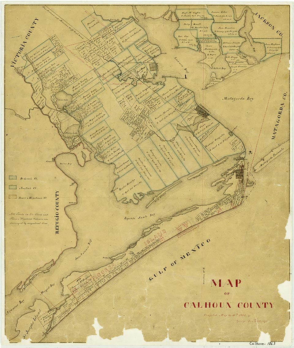
Calhoun, on Matagorda Island, was projected by the Republic of Texas in January 1839, when Congress directed the secretary of the treasury to have 640 acres on the north end of the island surveyed as the site for a seaport. Lots in the town went on sale in June 1841. A customhouse was established, and Alexander Somervell was appointed collector of customs. The town failed to prosper, however, and the customhouse was moved to Port Caballo. Calhoun ceased to exist by 1845.
| © TSHA
Adapted from the official Handbook of Texas, a state encyclopedia developed by Texas State Historical Association (TSHA). It is an authoritative source of trusted historical records.
- ✅ Adoption Status:
- This place is available for adoption! Available for adoption!
- Adopted by:
- Your name goes here
- Dedication Message:
- Your message goes here
Belongs to
Calhoun is part of or belongs to the following places:
Currently Exists
No
Place type
Calhoun is classified as a Town
Location
Latitude: 28.37673000Longitude: -96.41304900
Has Post Office
No
Is Incorporated
No