Callahan County

Callahan County, Texas

Callahan County, Texas
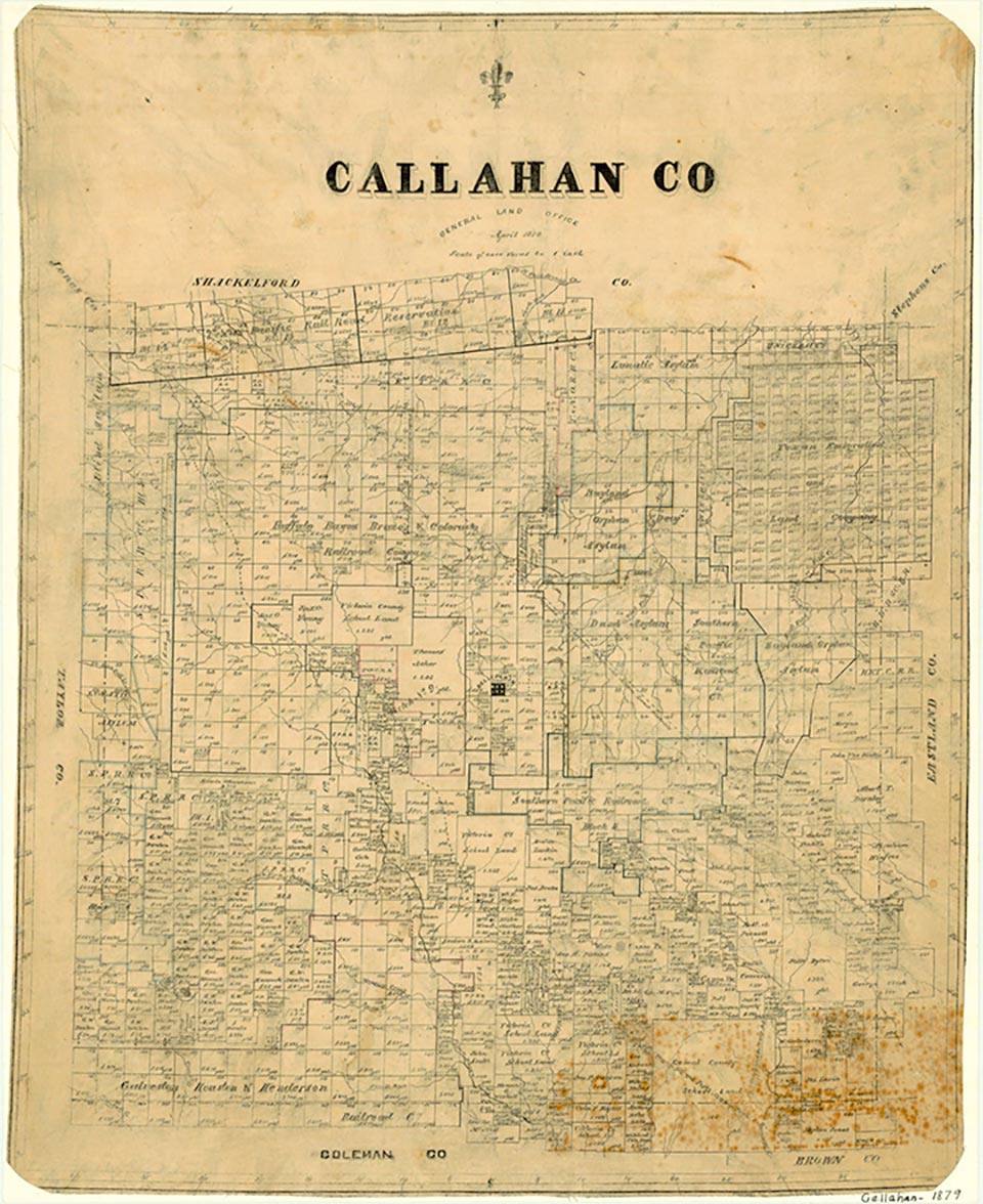
Callahan County (I-13) is in the Rolling Plains region of Central Texas on Interstate Highway 20 east of Abilene. The county is bounded on the north by Shackelford and Jones counties, on the east by Eastland County, on the south by Coleman and Brown counties, and on the west by Taylor County. The county seat is Baird. The largest town, Clyde, is nine miles east of Abilene and roughly 162 miles west of Fort Worth. The center point of the county is at 32°18' north latitude and 99°23' west longitude. In addition to Interstate 20, the county's transportation needs are served by U.S. highways 80 and 283, State highways 6, 36, 206, 279, 351, and the Missouri Pacific Railroad. Callahan County embraces 899 square miles of grassy prairie. The elevation ranges from 1,500 to 1,900 feet. The county is divided by a low range of hills known as the Callahan Divide, which runs from east to west. The region to the north is in the Brazos River basin, and the area to the south is in the Colorado River basin. Most of the county has light to dark loamy soils with clayey to loamy subsoils. In the southeast the soils are light-colored with loamy to sandy surface layers and clayey subsoils. Between 21 and 30 percent of the land in the county is considered prime farmland. The eastern quarter of the county has vegetation typical of the Cross Timbers and Prairies regions-a variety of grasses, including mesquite grass, red grama, red love grass, tumble grass, and Texas grama, and small stands of trees, including mesquite, post oak, live oak, and pecan. The southwest corner has tall grasses. The remainder of the county has short to mid-height grasses, with some mesquite, juniper, and cacti (see GRASSLANDS). The subtropical and subhumid climate features mild winters and warm summers. Temperatures range in January from an average low of 31° F to an average high of 56°, and in July from 71° to 96°. The average annual rainfall is twenty-five inches. The average annual snowfall is six inches. The growing season averages 230 days a year, with the last freeze in late March and the first in early November. Tornadoes are common in the area. Since its establishment in the last century Callahan County towns have suffered several severe storms, most notably Baird in 1895, Oplin in 1922, and Clyde in 1938 and 1950.
Until the 1870s the county was dominated by Comanche Indians. The area was first explored and described by Dr. Henry C. Connelly of the Chihuahua expedition in 1839–40. Callahan County was formed by the Texas legislature in 1858 from Bexar, Bosque, and Travis counties and named for James Hughes Callahan, a survivor of the Goliad Massacre and leader of the Callahan expedition. Because of the threat of Comanche attack, little permanent settlement took place in the area until after the Civil War. The first White settler to reside in the county was probably James Dulan, a native of Georgia, who built a shelter on Hubbard Creek in 1859 and tended a small herd of cattle. Sometime before November 1863 the Whitten family moved in and established a camp on Deep Creek in the northeastern part of the county. They were followed by the Hittsons and Eubankses, who ranched in both Callahan and Shackelford counties just after the Civil War. The first permanent residence in the county was built by A. A. and Caroline Hart and their four sons, John, Jim, Early, and Jesse, who settled on the South Prong of Pecan Bayou in 1868. They moved to Coleman County shortly thereafter, but returned to Callahan County in 1872 and constructed a double log cabin that for many years was a county landmark.
Christopher Long | © TSHA
Adapted from the official Handbook of Texas, a state encyclopedia developed by Texas State Historical Association (TSHA). It is an authoritative source of trusted historical records.
- ✅ Adoption Status:
- This place is available for adoption! Available for adoption!
- Adopted by:
- Your name goes here
- Dedication Message:
- Your message goes here
Currently Exists
Yes
Place type
Callahan County is classified as a County
Altitude Range
1350 ft – 2204 ft
Size
Land area does not include water surface area, whereas total area does
- Land Area: 899.4 mi²
- Total Area: 901.3 mi²
Temperature
January mean minimum:
31.4°F
July mean maximum:
94.8°F
Rainfall, 2019
27.4 inches
Population Count, 2019
13,943
Civilian Labor Count, 2019
5,920
Unemployment, 2019
6.4%
Property Values, 2019
$1,860,824,981 USD
Per-Capita Income, 2019
$39,392 USD
Retail Sales, 2019
$179,530,699 USD
Wages, 2019
$29,459,101 USD
County Map of Texas
Callahan County
- Callahan County
Places of Callahan County
| Place | Type | Population (Year/Source) | Currently Exists |
|---|---|---|---|
| Town | 18 (2009) | Yes | |
| Town | – | – | |
| Town | – | – | |
| Town | – | – | |
| Town | 1,498 (2021) | Yes | |
| Town | – | – | |
| Town | – | – | |
| Town | – | – | |
| Town | – | – | |
| Town | – | – | |
| Town | – | – | |
| Town | – | – | |
| Town | – | – | |
| Town | – | – | |
| Town | – | – | |
| Town | – | – | |
| Town | 3,923 (2021) | Yes | |
| Town | 55 (2009) | Yes | |
| Town | 926 (2021) | Yes | |
| Town | – | – | |
| Town | 6 (2009) | Yes | |
| Town | – | – | |
| Town | 25 (2009) | Yes | |
| Town | – | – | |
| Town | – | – | |
| Town | 125 (2009) | Yes | |
| Town | – | – | |
| Town | – | – | |
| Town | – | – | |
| Town | – | – | |
| Town | – | – | |
| Town | – | – | |
| Town | – | – | |
| Town | – | – | |
| Town | – | – | |
| Lake | – | Yes | |
| Town | – | – | |
| Town | – | – | |
| Town | 75 (2009) | Yes | |
| Town | – | – | |
| Town | – | – | |
| Town | – | – | |
| Town | 65 (2021) | Yes | |
| Town | – | – | |
| Town | 15 (2009) | Yes | |
| Town | – | – | |
| Town | – | – | |
| Town | – | – | |
| Town | – | – | |
| Town | – | – | |
| Town | – | – | |
| Town | – | – | |
| Town | – | – | |
| Town | – | – | |
| Town | – | – | |
| Town | – | – |
Proud to call Texas home?
Put your name on the town, county, or lake of your choice.
Search Places »