Canary
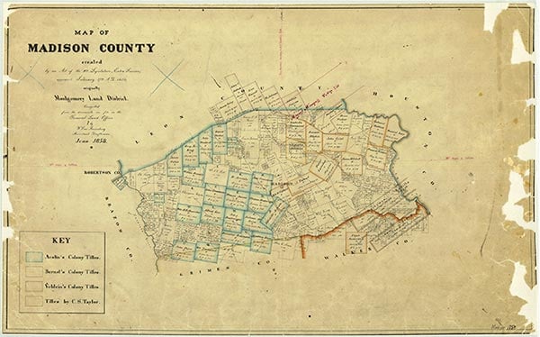
West Caney Creek, a perennial stream, rises one mile southwest of Normangee in southwestern Leon County (at 31°03' N, 96°08' W) and flows southwest eleven miles, through northwestern Madison County, to its mouth on the Navasota River on the Brazos county line (at 30°57' N, 96°12' W). It crosses gently sloping to nearly level terrain, surfaced by sandy loam that supports intermittent mesquite, pecan-elm, water oak-elm, elm-hackberry, and post oak-black hickory woods on the banks of the creek. The historic Old San Antonio Road, a thoroughfare for early Spanish and French explorers, crossed the headwaters of the stream. Anglo-American settlement in the vicinity of the creek began during the 1840s, when Burnsville was established on the west bank and the Old San Antonio Road. Normangee, one mile southeast of the stream's source, became a station on the Trinity and Brazos Valley Railway in 1905. The Canary community is on the west bank of the middle creek.
| © TSHA
Adapted from the official Handbook of Texas, a state encyclopedia developed by Texas State Historical Association (TSHA). It is an authoritative source of trusted historical records.
- ✅ Adoption Status:
Belongs to
Canary is part of or belongs to the following places:
Currently Exists
No
Place type
Canary is classified as a Town
Location
Latitude: 30.99352060Longitude: -96.17829270
Has Post Office
No
Is Incorporated
No