Caps
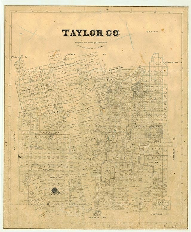
Caps is near the intersection of U.S. Highway 277 and Farm Road 707 southwest of Abilene in Taylor County. The community began in 1882 when J. Stoddard Johnston of Abilene gave Ira and Anna Rollins Borders a wedding present of an acre of land just north of the current townsite. By 1894 the community had a post office, known as Border's Chapel, that served forty families. This office was replaced by mail delivery from Abilene in 1916. In 1905 residents gathered to select a new name; reportedly, someone threw his cap into the air and said, "Let's call it caps," and the idea was approved. The Caps community had a cotton gin, a telephone office, two churches, two stores, a school, and a blacksmith shop by 1920. Caps and View constructed the Butterfield School halfway between the two communities in 1935. The school, named in honor of the Butterfield Overland Mail line, had eight grades. It was consolidated with the Wylie Independent School District in 1978. In the mid-1980s it had an average yearly enrollment of seventy-three in kindergarten through the fifth grade. Commercial activity shifted to U.S. 277 after Camp Barkeley opened in 1940 four miles southwest of the community. After the army base was closed in 1945, its site became a commercial feedlot; in the mid-1980s it was still used for that purpose. Dyess Air Force Base was opened in 1953, and aircraft noise forced the two Caps churches to move closer to Abilene on Highway 277. A disagreement over territorial rights between the View-Caps Water Supply Corporation and the city of Abilene began in 1979. The issue, one of Abilene's longest legal battles, lasted through three mayors and two city managers. The population of Caps was reported as twenty in 1936, 125 in 1948, seventy-five in 1965, and 300 in 1985. In 1986 Abilene annexed a portion of Caps, including the churches and fifty View-Caps water customers. In 1990 and 2000 Caps reported a population of 100.
Nita Houlihan Keesee | © TSHA
Adapted from the official Handbook of Texas, a state encyclopedia developed by Texas State Historical Association (TSHA). It is an authoritative source of trusted historical records.
- ✅ Adoption Status:
- This place is available for adoption! Available for adoption!
- Adopted by:
- Your name goes here
- Dedication Message:
- Your message goes here
Belongs to
Caps is part of or belongs to the following places:
Currently Exists
Yes
Place type
Caps is classified as a Town
Associated Names
- (Borders Chapel)
Location
Latitude: 32.37318250Longitude: -99.84703520
Has Post Office
No
Is Incorporated
No
Population Count, 2009
300