Carson County

Carson County, Texas

Carson County, Texas
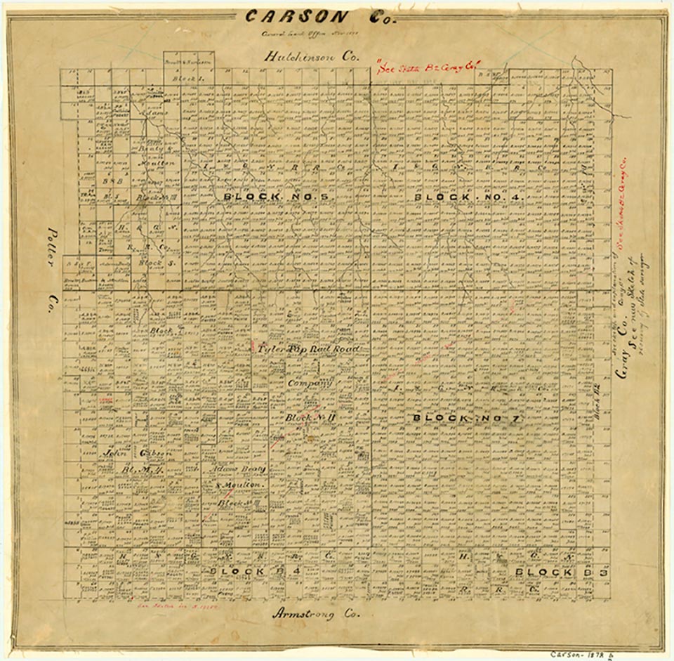
Carson County, in the center of the Panhandle and on the eastern edge of the Texas High Plains, is bounded on the north by Hutchinson County, on the west by Potter County, on the south by Armstrong County, and on the east by Gray County. Carson County was named for Samuel P. Carson, the first secretary of state of the Republic of Texas. The center of the county lies at roughly 35°25' north latitude and 101°22' west longitude. The county occupies 900 square miles of level to rolling prairies surfaced by dark clay and loam that make the county almost completely tillable and productive. Native grasses and various crops such as wheat, oats, barley, grain sorghums, and corn flourish. The huge Ogallala Aquifer beneath the surface provides water for people, crops, and livestock. Trees, usually cottonwood, oak, or elm, appear, along with mesquite, in the county's creekbottoms. Antelope and Dixon creeks, both intermittent streams, run northward from central Carson County to their mouths on the Canadian River in Hutchinson County. McClellan Creek, also intermittent, runs eastward across the southeastern corner of the county to join the Red River. Carson County ranges from 3,200 to 3,500 feet in elevation, averages 20.92 inches of rain per year, and varies in temperature from a minimum average of 21° F in January to a maximum average of 93° in July. The growing season averages 191 days a year.
Prehistoric hunters first occupied the area, and then the Plains Apaches arrived. Modern Apaches followed them and were displaced by Comanches, who dominated the region until the 1870s. Spanish exploring parties, including those of Francisco Vázquez de Coronado in the 1540s and Juan de Oñate in the early 1600s, crisscrossed the Texas Panhandle, but it is not known if they traversed Carson County. American buffalo hunters penetrated the Panhandle in the early 1870s as they slaughtered the great southern herd. The ensuing Indian wars, culminated by the Red River War of 1874, led to the extermination of the buffalo and the removal of the Comanches to Indian Territory. The Panhandle was thus opened to settlement. Carson County was established in 1876, when its territory was marked off from the Bexar District.
Donald R. Abbe | © TSHA
Adapted from the official Handbook of Texas, a state encyclopedia developed by Texas State Historical Association (TSHA). It is an authoritative source of trusted historical records.
- ✅ Adoption Status:
Currently Exists
Yes
Place type
Carson County is classified as a County
Altitude Range
2926 ft – 3595 ft
Size
Land area does not include water surface area, whereas total area does
- Land Area: 920.2 mi²
- Total Area: 924.1 mi²
Temperature
January mean minimum:
20.3°F
July mean maximum:
92.2°F
Rainfall, 2019
21.8 inches
Population Count, 2019
5,926
Civilian Labor Count, 2019
2,828
Unemployment, 2019
5.0%
Property Values, 2019
$2,026,986,480 USD
Per-Capita Income, 2019
$46,373 USD
Retail Sales, 2019
$97,290,026 USD
Wages, 2019
$101,765,729 USD
County Map of Texas
Carson County
- Carson County
Places of Carson County
| Place | Type | Population (Year/Source) | Currently Exists |
|---|---|---|---|
| Town | – | – | |
| Town | – | – | |
| Town | – | – | |
| Town | – | – | |
| Town | 20 (2009) | Yes | |
| Town | – | – | |
| Town | – | – | |
| Town | – | – | |
| Town | – | – | |
| Town | 547 (2021) | Yes | |
| Town | – | – | |
| Town | – | – | |
| Town | – | – | |
| Town | – | – | |
| Town | – | – | |
| Town | – | – | |
| Town | – | – | |
| Town | – | – | |
| Town | 2,337 (2021) | Yes | |
| Town | – | – | |
| Town | – | – | |
| Town | – | – | |
| Town | – | – | |
| Town | – | – | |
| Town | – | – | |
| Town | – | – | |
| Town | 394 (2021) | Yes | |
| Town | – | – | |
| Town | 904 (2021) | Yes | |
| Town | – | – | |
| Town | – | – |
Photos Nearby:

Skellytown, Texas
Restored Gas Station in Skellytown, Texas. Photograph by Jeffrey Beall.

Panhandle, Texas
Welcome sign at the City of Panhandle, Texas. Photograph by Billy Hathorn.
Proud to call Texas home?
Put your name on the town, county, or lake of your choice.
Search Places »