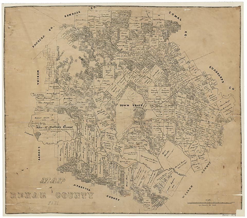
Cassin

Cassin is off U.S. Highway 281 just south of Mitchell Lake, twelve miles south of downtown San Antonio in southern Bexar County. It was settled before 1900 and was named for local landowner William Cassin. After the construction of the San Antonio, Uvalde and Gulf Railroad in 1913 Cassin served as a flag stop. In the mid-1930s the settlement was the site of the Asa Mitchell school, a church, and a store. The population in 1946 was 175. By 1990 the population had fallen to a reported fifty.
Minnie B. Cameron | © TSHA

Adapted from the official Handbook of Texas, a state encyclopedia developed by Texas State Historical Association (TSHA). It is an authoritative source of trusted historical records.

- ✅ Adoption Status:
Belongs to
Cassin is part of or belongs to the following places:
Currently Exists
Yes
Place type
Cassin is classified as a Town
Location
Latitude: 29.25857220Longitude: -98.49196050
Has Post Office
No
Is Incorporated
No
Population Count, 2009
200
