Cavazos
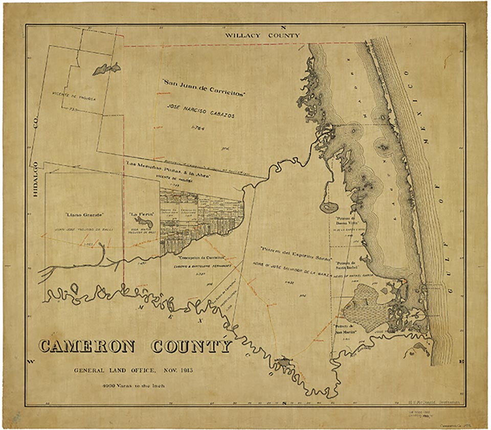
Cavazos was at the junction of U.S. Highway 281 and Farm Road 1732, six miles southeast of San Benito in south central Cameron County. The community was first settled by Mexican ranchers in the late 1890s. The introduction of irrigation to the area in 1910 facilitated intensive diversified agriculture. In 1936 there were two cemeteries, various dwellings and farms, and a school in the area of Cavazos. By 1955 the community comprised only dwellings and the two cemeteries. In 1976 all that remained at the site was a colonia known as Villa Cavazos or Cavazos. At that time it had forty-four dwellings and an estimated population of 231. By 1983 the number of dwellings had increased to seventy-one, and there was a cemetery at the site. In 1986 the colonia had a population of 225 and encompassed thirty-eight acres; at that time it received its water from the Military Water Supply Corporation. In 2000 the population was 201.
Alicia A. Garza | © TSHA
Adapted from the official Handbook of Texas, a state encyclopedia developed by Texas State Historical Association (TSHA). It is an authoritative source of trusted historical records.
- ✅ Adoption Status:
Belongs to
Cavazos is part of or belongs to the following places:
Currently Exists
No
Place type
Cavazos is classified as a Town
Location
Latitude: 26.01868930Longitude: -97.60776690
Has Post Office
No
Is Incorporated
No