Cedar Springs
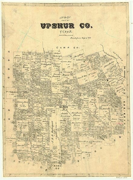
Cedar Springs, on U.S. Highway 259 sixteen miles northeast of Gilmer in extreme northeastern Upshur County, was first settled before the Civil War near a spring surrounded by large cedar trees. In the mid 1930s the community had a school and number of scattered houses. After World War II the school was consolidated with the Coffeeville school district and later became part of the Ore City Independent School District. In the mid 1960s Cedar Springs had a church and a few houses. Most of the approximately 100 residents worked for the nearby Lone Star Steel Company. In 1990 Cedar Springs was a dispersed rural community. In 2000 the population was 100.
Christopher Long | © TSHA
Adapted from the official Handbook of Texas, a state encyclopedia developed by Texas State Historical Association (TSHA). It is an authoritative source of trusted historical records.
- ✅ Adoption Status:
Belongs to
Cedar Springs is part of or belongs to the following places:
Currently Exists
Yes
Place type
Cedar Springs is classified as a Town
Location
Latitude: 32.86902140Longitude: -94.73465220
Has Post Office
No
Is Incorporated
No
Population Count, 2009
100