Cedarvale
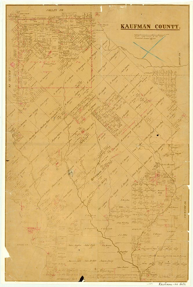
Cedarvale was on State Highway 243 twelve miles east of Kaufman in eastern Kaufman County. During the 1930s the community had an estimated population of twenty and three businesses. During the 1950s and early 1960s the population was estimated at forty, and no businesses were in operation.
Continue Reading
David Minor | © TSHA
Adapted from the official Handbook of Texas, a state encyclopedia developed by Texas State Historical Association (TSHA). It is an authoritative source of trusted historical records.
- ✅ Adoption Status:
Belongs to
Cedarvale is part of or belongs to the following places:
Currently Exists
Yes
Place type
Cedarvale is classified as a Town
Location
Latitude: 32.56985740Longitude: -96.09163880
Has Post Office
No
Is Incorporated
No
Population Count, 2009
50