Central Heights
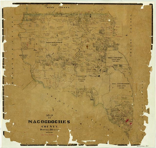
Bonita Creek, also known as Bayou Bonita, rises just south of Central Heights in north central Nacogdoches County (at 31°43' N, 94°41' W) and flows southeast for nine miles, through central Nacogdoches, to its mouth on La Nana Bayou, just south of downtown (at 31°35' N, 94°39' W). The stream is intermittent in its upper reaches. It crosses flat terrain with local shallow depressions, surfaced by clay and sandy loam that supports water-tolerant hardwoods, conifers, and grasses along the banks.
| © TSHA
Adapted from the official Handbook of Texas, a state encyclopedia developed by Texas State Historical Association (TSHA). It is an authoritative source of trusted historical records.
- ✅ Adoption Status:
- This place is available for adoption! Available for adoption!
- Adopted by:
- Your name goes here
- Dedication Message:
- Your message goes here
Belongs to
Central Heights is part of or belongs to the following places:
Currently Exists
Yes
Place type
Central Heights is classified as a Town
Location
Latitude: 31.70517720Longitude: -94.67687730
Has Post Office
No
Is Incorporated
No
Population Count, 2009
300