Chamberlain
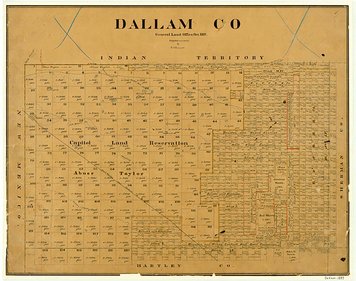
Chamberlain (Chamberlin) was on the Chicago, Rock Island and Pacific Railroad near the route of what is now U.S. Highway 54 ten miles northeast of Dalhart in southeastern Dallam County. In 1947 the community had a grocery store and a population of fifty and received its mail from Dalhart. After the Rock Island line ended its Panhandle operations in the early 1980s, the line was taken over by the St. Louis Southwestern Railway. By that time the Chamberlain site had been abandoned.
| © TSHA

Adapted from the official Handbook of Texas, a state encyclopedia developed by Texas State Historical Association (TSHA). It is an authoritative source of trusted historical records.

- ✅ Adoption Status:
Belongs to
Chamberlain is part of or belongs to the following places:
Currently Exists
No
Place type
Chamberlain is classified as a Town
Associated Names
- [Chamberlin]
Location
Latitude: 36.15669830Longitude: -102.37102020
Has Post Office
No
Is Incorporated
No

