Choctaw
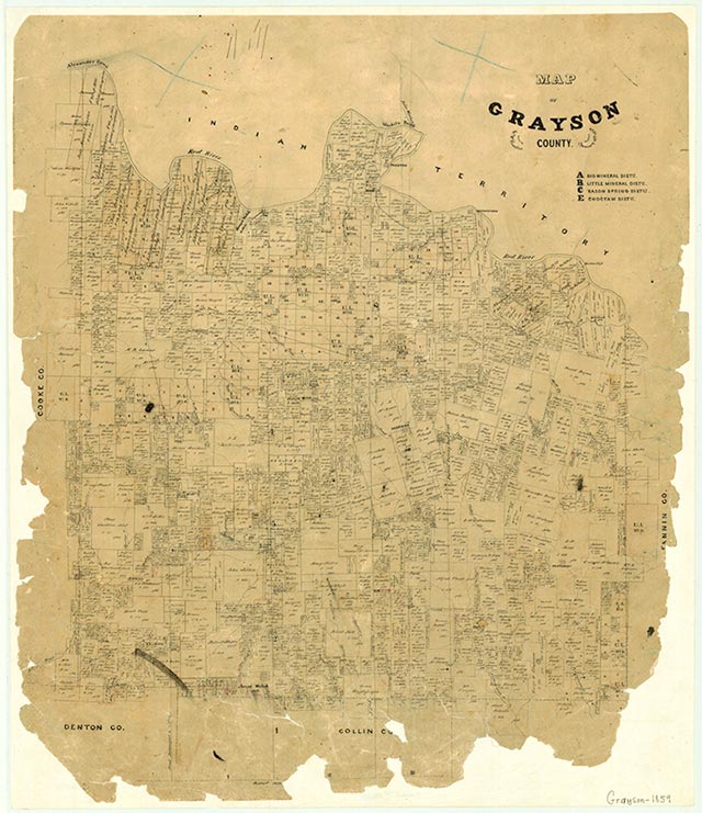
Choctaw was seven miles east of Sherman in eastern Grayson County. The first Anglo-Americans arrived in the area in the mid-1830s, led by Daniel Dugan. Initially the settlement that developed was called Dugan's Chapel. When the Texas and Pacific Railway built through the area, company officials apparently changed the name of the town to Choctaw. A post office operated for one year, 1874–75, then closed and reopened in 1884. In 1892 the town had a population of forty-two and three businesses. Choctaw served as a community center for area farmers. The post office closed again in 1918, and from 1918 to the 1930s the number of residents was estimated at twenty-five or below. Choctaw no longer appeared on county highway maps by the 1940s.
David Minor | © TSHA
Adapted from the official Handbook of Texas, a state encyclopedia developed by Texas State Historical Association (TSHA). It is an authoritative source of trusted historical records.
- ✅ Adoption Status:
- This place is available for adoption! Available for adoption!
- Adopted by:
- Your name goes here
- Dedication Message:
- Your message goes here
Belongs to
Choctaw is part of or belongs to the following places:
Currently Exists
No
Place type
Choctaw is classified as a Town
Associated Names
- (Dugan's Chapel)
Location
Latitude: 33.67510470Longitude: -96.43637600
Has Post Office
No
Is Incorporated
No