Clairemont
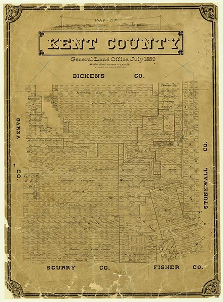
Clairemont is at the intersection of U.S. Highway 380 and State Highway 208, fourteen miles southwest of Jayton and forty-three miles east of Post in central Kent County. The site was established as the county seat on land owned by R. L. Rhomberg when Kent County was organized in 1892. The town was named for Claire Becker, a relative of Rhomberg. A post office was established in December 1892 with Loulah Posey as postmistress. A courthouse and jail were constructed from local red sandstone and completed in 1895. By that time the town had several stores, a bank, a newspaper, and a hotel.
Although the Stamford and Northwestern Railway had bypassed Clairemont to the east by 1909, the town continued to prosper. Cotton and cattle ranching dominated the economy, and oil later became important. The population, a reported 150 during the 1930s and 1940s, grew to 300 in the 1950s, when the town's five businesses indicated a small-scale oil boom. Clairemont had several newspapers through the years, including the Kent County Sentinel, Kent County News, Clairemont Enterprise, and Western Courier. The lack of an adequate water source, declining cotton prices, and the removal of local oil camps, however, forecast an end to prosperity. After a two-year court battle Jayton became county seat in 1954. Loss of the county offices and consolidation with the Jayton schools in the 1950s caused a rapid decline. When the post office closed in 1970 Clairemont had two businesses and a population of thirty-five. The Clairemont courthouse burned shortly after the records were transferred to Jayton, and only the bottom story was preserved. Although several families lived in the area in the late 1980s, the sole resident of Clairemont was Margie (Ma) Hart. She operated the only remaining store—nicknamed the "Buzzer Den" for an earlier rash of rattlesnakes—which had become a popular local gathering place. In 1990 and 2000 the population of Clairemont was recorded as fifteen.
Charles G. Davis | © TSHA
Adapted from the official Handbook of Texas, a state encyclopedia developed by Texas State Historical Association (TSHA). It is an authoritative source of trusted historical records.
- ✅ Adoption Status:
- This place is available for adoption! Available for adoption!
- Adopted by:
- Your name goes here
- Dedication Message:
- Your message goes here
Belongs to
Clairemont is part of or belongs to the following places:
Currently Exists
Yes
Place type
Clairemont is classified as a Town
Location
Latitude: 33.16648420Longitude: -100.75261930
Has Post Office
No
Is Incorporated
No
Population Count, 2009
12