Clodine
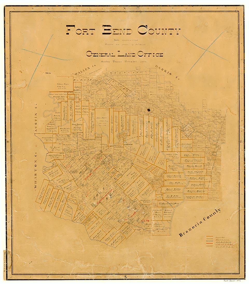
Clodine is twelve miles northeast of Richmond and twenty-one miles southwest of Houston in Fort Bend County. The town was established around 1888 as a station on the San Antonio and Aransas Pass Railway and was possibly named by a railroad official for Clodine King of Houston. The settlement acquired a post office in 1893 and by 1896 had a general store, a Baptist church, and a population of fifty. In 1897 Clodine had a community school. By 1914 its population had dwindled to twenty-five, but by then residents had telegraph and telephone connections. In 1925 the population was reported as ten and in 1929 as seventy. The Texas and New Orleans Railroad bought the San Antonio and Aransas Pass line in 1934 and subsequently removed the depot and section houses at Clodine. In 1936 the town had a factory and several businesses. Clodine was the market and shipping point for surrounding farms and the Clodine oilfield in 1947. That year the community had a population of fifty. In 1990 its population was estimated at thirty-one.
Stephen L. Hardin | © TSHA

Adapted from the official Handbook of Texas, a state encyclopedia developed by Texas State Historical Association (TSHA). It is an authoritative source of trusted historical records.

- ✅ Adoption Status:
Belongs to
Clodine is part of or belongs to the following places:
Currently Exists
No
Place type
Clodine is classified as a Town
Associated Names
- [Claudine]
Location
Latitude: 29.70745370Longitude: -95.68800300
Has Post Office
No
Is Incorporated
No

