Coker

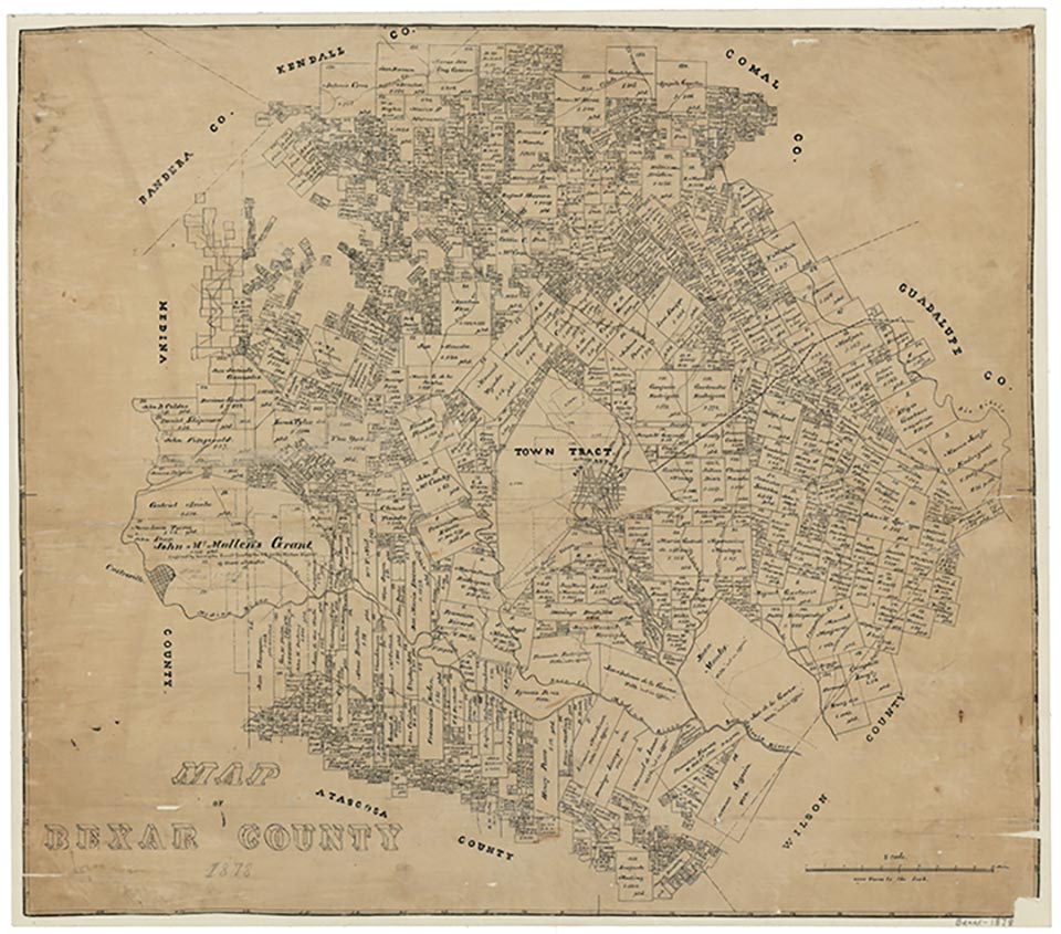
The Coker community, now within the city limits of San Antonio, was located in north central Bexar County along the present north loop road between the San Antonio streets of Nacoma Avenue, West Avenue, Bitters, and U.S. Highway 281. The community was founded in 1841 by John Coker on land he had received as a first-class headright. Coker's home was built of cut limestone blocks twelve inches thick and also served as the first stop on the cattle trails from San Antonio headed north; the cattle traveled twelve miles a day so the community was just the right distance from San Antonio at that time. There was a watering hole at the site dug for Coker by friendly Indians; the depression is still there at the foot of a 500-year-old live oak tree. The one room Coker community school was constructed nearby and also served as a church. John's brother James Harrison Coker was the first school teacher. According to family tradition, one day James was approached by an Indian who demanded a gallon of syrup. James refused since he only had one gallon for his family for the winter. This apparently angered the Indians who surrounded the cabin that night, yelling and dancing war dances; the frightened family was up all night expecting them to attack, but by the morning they were gone.
In the 1880s Methodist circuit rider Arthur Everette Rector visited the community about once a month; services lasted all day while horses, wagons, and oxen were tethered nearby. Rector once performed a wedding at the church and received as payment five dollars and a pig. The first church was built there about 1885 and was a wooden building put together with square nails. The church was originally called Salado Methodist Episcopal Church, South, and later renamed Coker Methodist Church sometime in the 1920s. The people of the community made their living by farming. The community experienced a decline in the 1930s as people moved from rural areas into the city. The present day rock church was constructed by the community members in 1938 and 1939. In 1949 the Coker school and six other schools were consolidated into a rural high school district which later became the North East Independent School District; Coker Elementary School still preserves the community name. By the 1950s all that remained of the community was the present day church and family cemetery.
Richard B. Autry | © TSHA

Adapted from the official Handbook of Texas, a state encyclopedia developed by Texas State Historical Association (TSHA). It is an authoritative source of trusted historical records.

- ✅ Adoption Status:
- This place is available for adoption! Available for adoption!
- Adopted by:
- Your name goes here
- Dedication Message:
- Your message goes here
Belongs to
Coker is part of or belongs to the following places:
Currently Exists
No
Place type
Coker is classified as a Town
Location
Latitude: 29.55522840Longitude: -98.49196220
Has Post Office
No
Is Incorporated
No
