Cold Springs
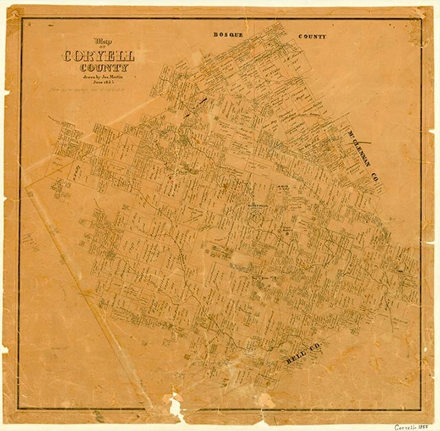
Cold Springs was fourteen miles southwest of Oglesby in southeastern Coryell County. It was named for a spring which flowed into Owl Creek. Tom and Elizabeth White gave land for a Baptist church in 1860. Residents received their mail from nearby Seattle, and children attended the Longview school. The establishment of the Fort Hood military reservation in the 1940s and its expansion in 1953 forced residents of Cold Springs to relocate. In 1965 the Cold Springs name was given to a church two miles southeast of Flat at the intersection of State Highway 36 and Farm Road 184. A few scattered houses appeared on maps of the area.
Vivian Elizabeth Smyrl | © TSHA
Adapted from the official Handbook of Texas, a state encyclopedia developed by Texas State Historical Association (TSHA). It is an authoritative source of trusted historical records.
- ✅ Adoption Status:
- This place is available for adoption! Available for adoption!
- Adopted by:
- Your name goes here
- Dedication Message:
- Your message goes here
Belongs to
Cold Springs is part of or belongs to the following places:
Currently Exists
No
Place type
Cold Springs is classified as a Town
Associated Names
- [within Fort Hood]
Location
Latitude: 31.24183860Longitude: -97.61668350
Has Post Office
No
Is Incorporated
No