Collingsworth County

Collingsworth County, Texas

Collingsworth County, Texas
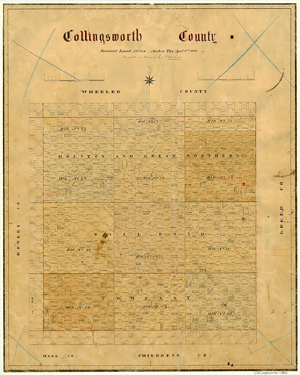
Collingsworth County, on the eastern edge of the Texas Panhandle, is bordered on the east by Oklahoma, on the north by Wheeler County, on the west by Donley County, and on the south by Childress and Hall counties. The county is named for James Collinsworth, the first chief justice of the Republic of Texas, whose name was misspelled in the legislation that established the county. The center of Collingsworth County is located at approximately 100°15' north longitude and 34°57' west latitude, about five miles north-northwest of Wellington, the county seat. Wellington is ninety miles east-southeast of Amarillo. Collingsworth County occupies 894 square miles of rolling prairie and riverbreaks located to the east of the Texas High Plains. The county terrain is such that about half of its area is not suitable for farming. Therefore ranching remains strong in the county, balanced but not displaced by farms. The county's sandy and loam soils support a variety of native grasses as well as cotton, wheat, and grain sorghums. A small amount of oil and gas is produced in the northern part of the county. The land is broken by the Salt Fork of the Red River, which meanders eastward across the central portion of the county, as well as by its many tributaries, including Elm, Wolf, Spiller (or Buck), and Sand creeks. The elevation of the county ranges from 1,800 to 2,600 feet above sea level, the average annual maximum temperature is 99° F in July, the average annual minimum is 26° F in January, the average annual precipitation is 22.03 inches, and the growing season averages 212 days per year.
The area that is now Collingsworth County was occupied by Apaches from prehistoric times until about 1700, when Comanches and Kiowas moved in. These tribes dominated the Panhandle until they were militarily defeated by the United States Army in the Red River War of 1874 and removed permanently to reservations in Indian Territory. The Panhandle was thus opened for settlement. In 1876 the Texas legislature formed Collingsworth County of land previously assigned to Bexar and Young counties.
Donald R. Abbe | © TSHA
Adapted from the official Handbook of Texas, a state encyclopedia developed by Texas State Historical Association (TSHA). It is an authoritative source of trusted historical records.
- ✅ Adoption Status:
- This place is available for adoption! Available for adoption!
- Adopted by:
- Your name goes here
- Dedication Message:
- Your message goes here
Currently Exists
Yes
Place type
Collingsworth County is classified as a County
Altitude Range
1750 ft – 2840 ft
Size
Land area does not include water surface area, whereas total area does
- Land Area: 918.4 mi²
- Total Area: 919.3 mi²
Temperature
January mean minimum:
27.4°F
July mean maximum:
97.6°F
Rainfall, 2019
22.6 inches
Population Count, 2019
2,920
Civilian Labor Count, 2019
1,027
Unemployment, 2019
4.6%
Property Values, 2019
$707,004,800 USD
Per-Capita Income, 2019
$33,039 USD
Retail Sales, 2019
$13,119,591 USD
Wages, 2019
$9,489,338 USD
County Map of Texas
Collingsworth County
- Collingsworth County
Places of Collingsworth County
| Place | Type | Population (Year/Source) | Currently Exists |
|---|---|---|---|
| Town | – | – | |
| Town | – | – | |
| Town | – | – | |
| Town | – | – | |
| Town | – | – | |
| Town | 91 (2021) | Yes | |
| Town | 4 (2009) | Yes | |
| Town | – | – | |
| Town | – | – | |
| Town | 10 (2009) | Yes | |
| Town | – | – | |
| Town | – | – | |
| Town | – | – | |
| Town | – | – | |
| Town | – | – | |
| Town | 10 (2009) | Yes | |
| Town | – | – | |
| Town | – | – | |
| Town | – | – | |
| Town | – | – | |
| Town | – | – | |
| Town | – | – | |
| Town | 25 (2021) | Yes | |
| Town | – | – | |
| Town | – | – | |
| Town | – | – | |
| Town | 31 (2021) | Yes | |
| Town | – | – | |
| Town | – | – | |
| Town | – | – | |
| Town | – | – | |
| Town | 1,867 (2021) | Yes | |
| Town | – | – |
Proud to call Texas home?
Put your name on the town, county, or lake of your choice.
Search Places »