Cometa
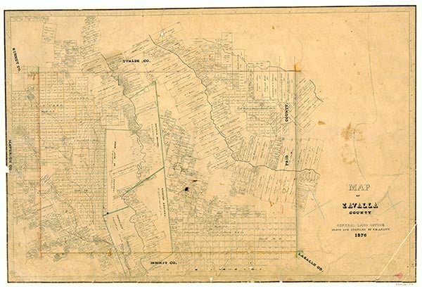
Cometa is at the intersection of Farm roads 2691 and 393, ten miles west of Crystal City in far southwestern Zavala County. The Cometa area was the location of prehistoric Indian encampments and Spanish campsites; one such campsite was called the Loma de Cometas by Spanish transportation agents. With spring water, a large natural lake, free-roaming cattle, and fertile soil, land in the Cometa area was much sought after immediately after the Civil War. Part of the site was bought by people interested in establishing a commune. The first families to settle the area permanently were Grey (Doc) White and the Vivian family around 1867. They were joined by the Ramón Sánchez and Galván families in 1870 and by J. Fisher in 1871. Cattlemen ranched the Cometa area throughout the last quarter of the nineteenth century. Around 1885 T. A. Coleman established his ranch headquarters on Cometa hill and hired Charles Lindenborn as foreman. The ranch brand was in the shape of a comet, called cometa by the Mexican ranchhands. The county's first schoolhouse was constructed by teacher George Herman in 1885 near Cometa; twenty-five students attended that year. The schoolhouse also served the community as church and community center. Methodists, Baptists, and members of the Church of Christ used the facility. In the early 1890s Coleman constructed a building that served as the general store and later the post office. The Vivian Cemetery was established in the community sometime near the turn of the century.
By 1900, 16 percent of Zavala County's population resided in the Cometa area. A post office was established in the community in 1905 with B. H. Erskine as postmaster. At that time Cometa farmers used artesian wells to irrigate small farms that produced watermelons, pumpkins, and tomatoes. Although harvests were bountiful, Cometa's farmers discovered that their produce spoiled in transit by oxcart and mulewagons to distant markets such as Eagle Pass.
Ruben E. Ochoa | © TSHA
Adapted from the official Handbook of Texas, a state encyclopedia developed by Texas State Historical Association (TSHA). It is an authoritative source of trusted historical records.
- ✅ Adoption Status:
Belongs to
Cometa is part of or belongs to the following places:
Currently Exists
Yes
Place type
Cometa is classified as a Town
Associated Names
- [Loma de Cometas]
Location
Latitude: 28.66470200Longitude: -100.01922740
Has Post Office
No
Is Incorporated
No
Population Count, 2014
10